

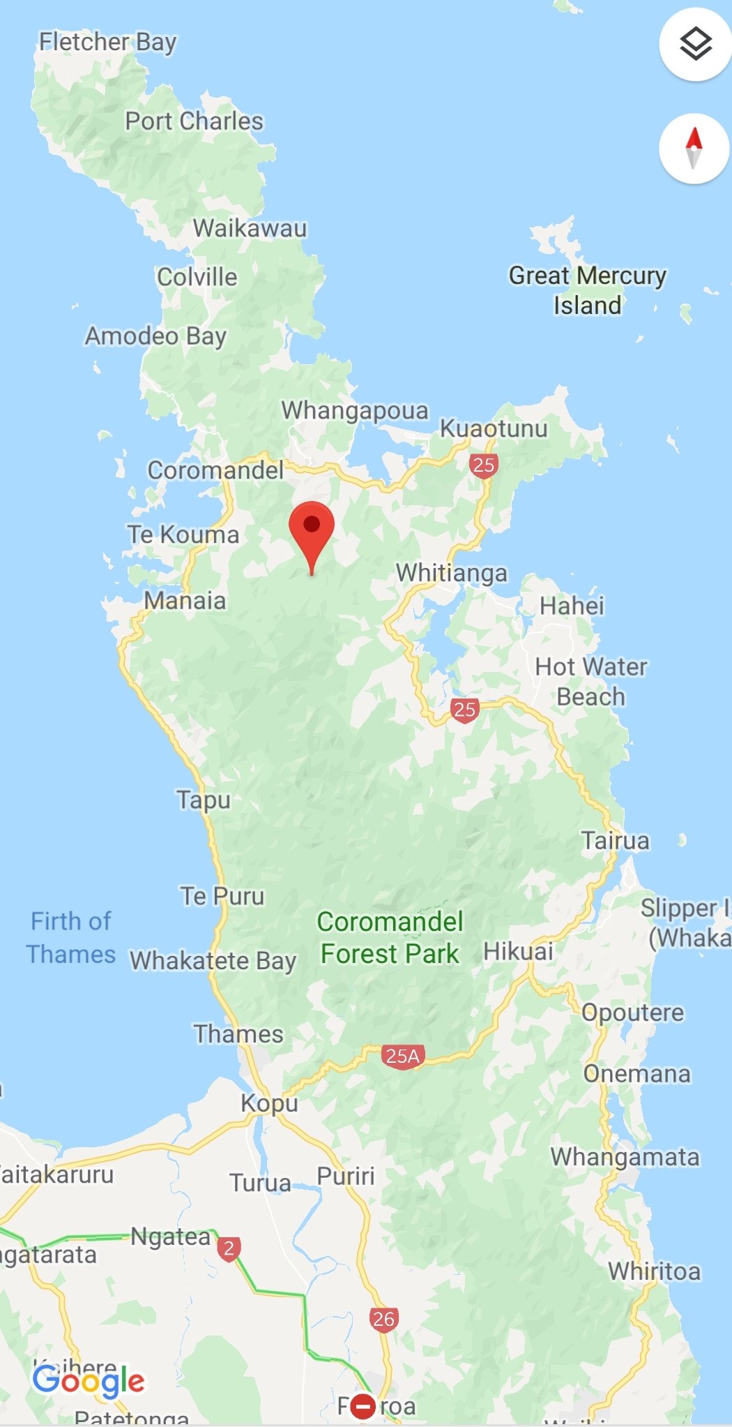
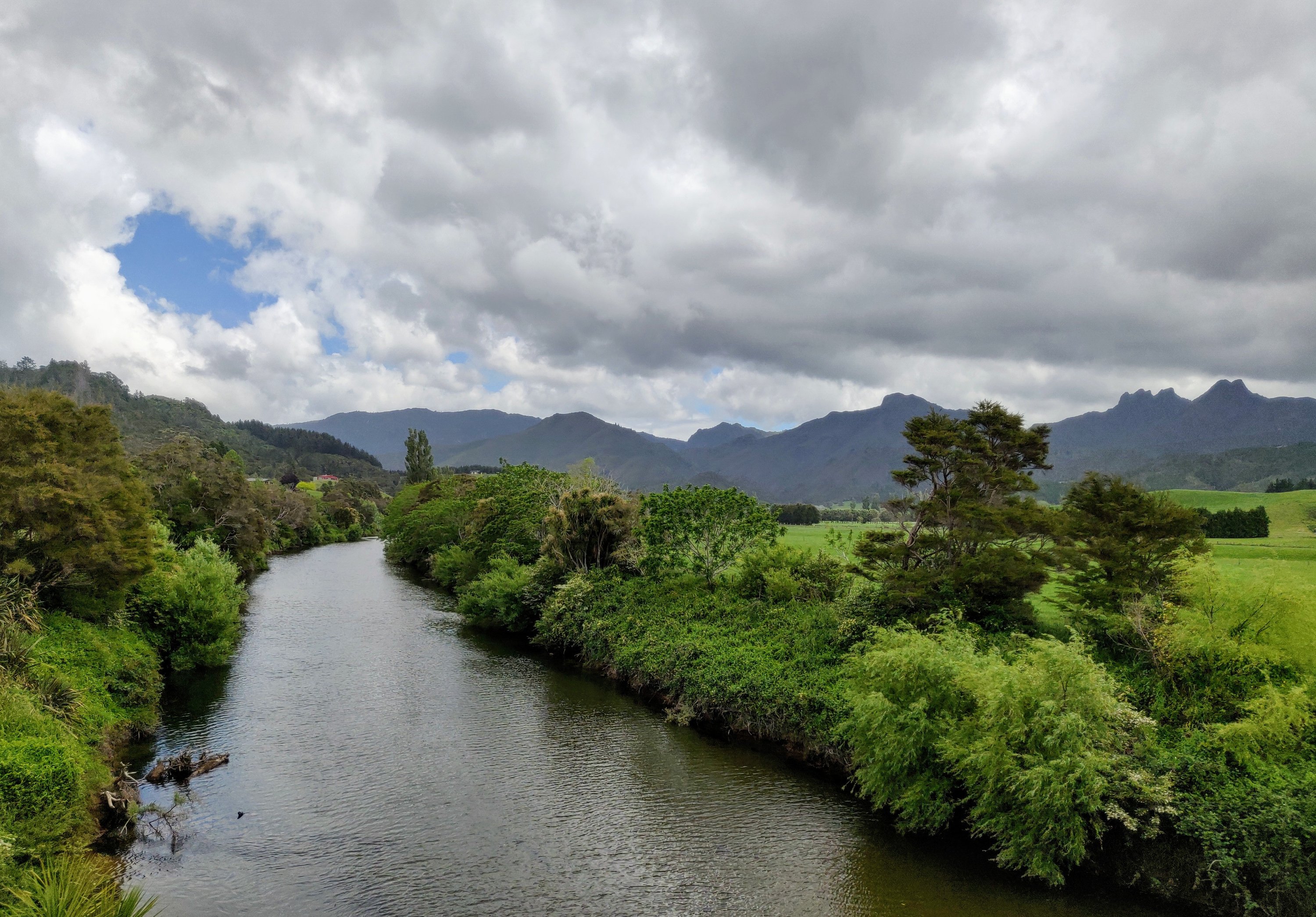
The Coromandel Peninsula extends 85 kilometres north from the western end of the Bay of Plenty forming a natural barrier to protect the Hauraki Gulf and the Firth of Thames from the Pacific Ocean to the east. It is 40 kilometres wide at its broadest point. The Coromandel Mountain Range is like a spine running down the centre of the peninsula and is mainly forest.
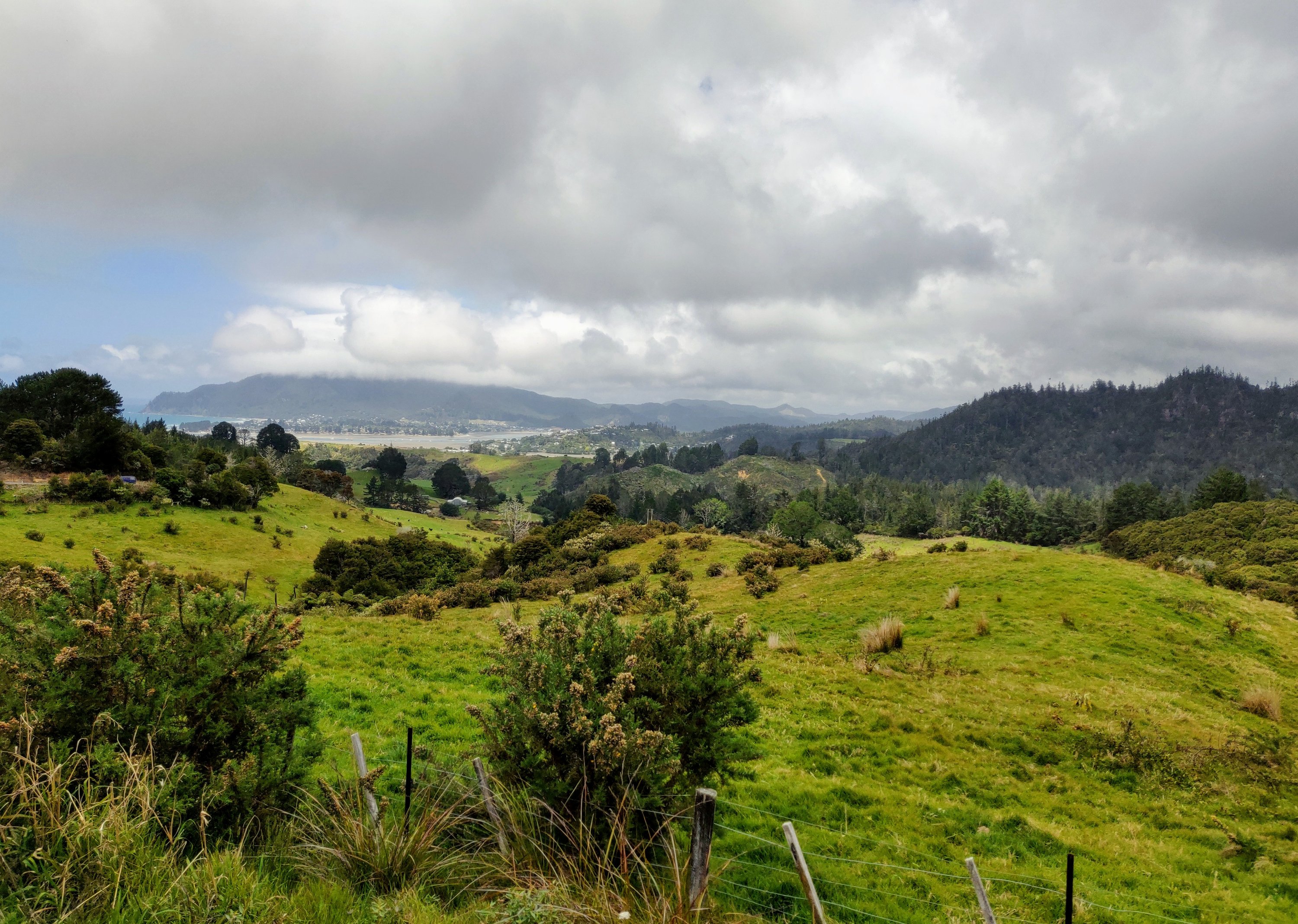
The peninsula had it all, narrow winding mountain passes, open farmland and beautiful beaches.
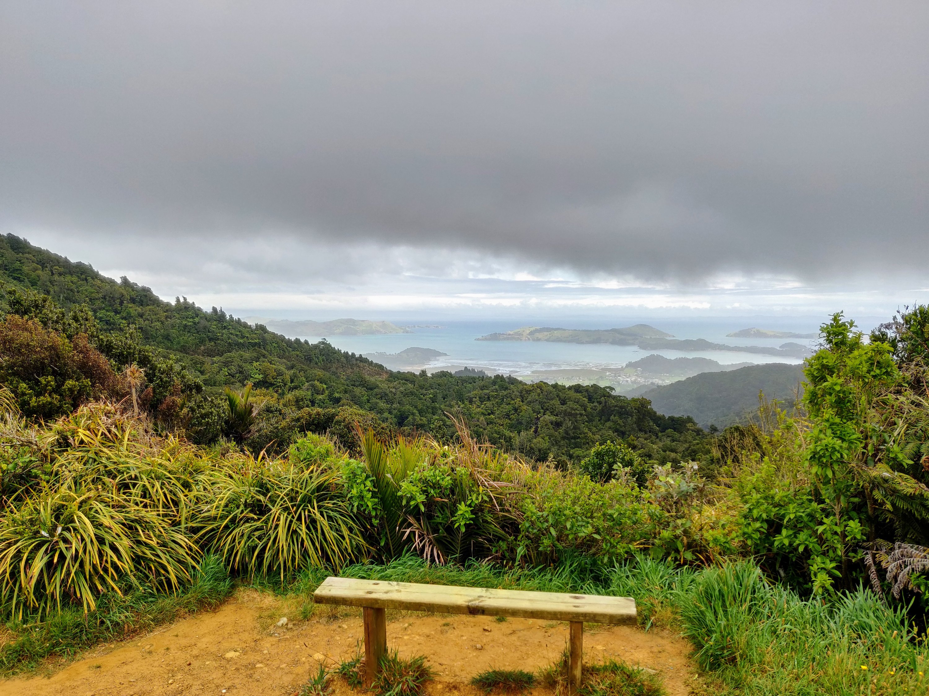
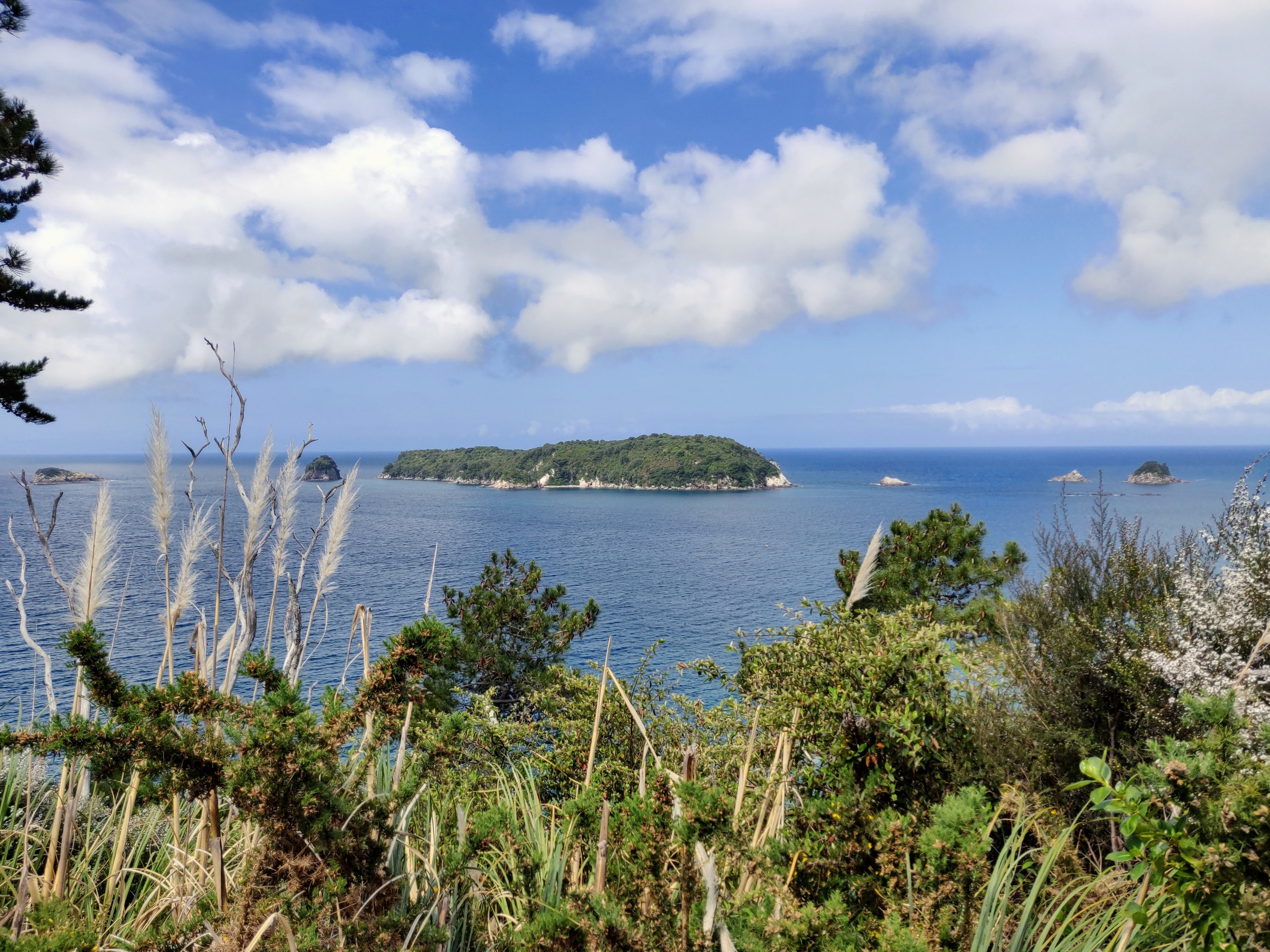
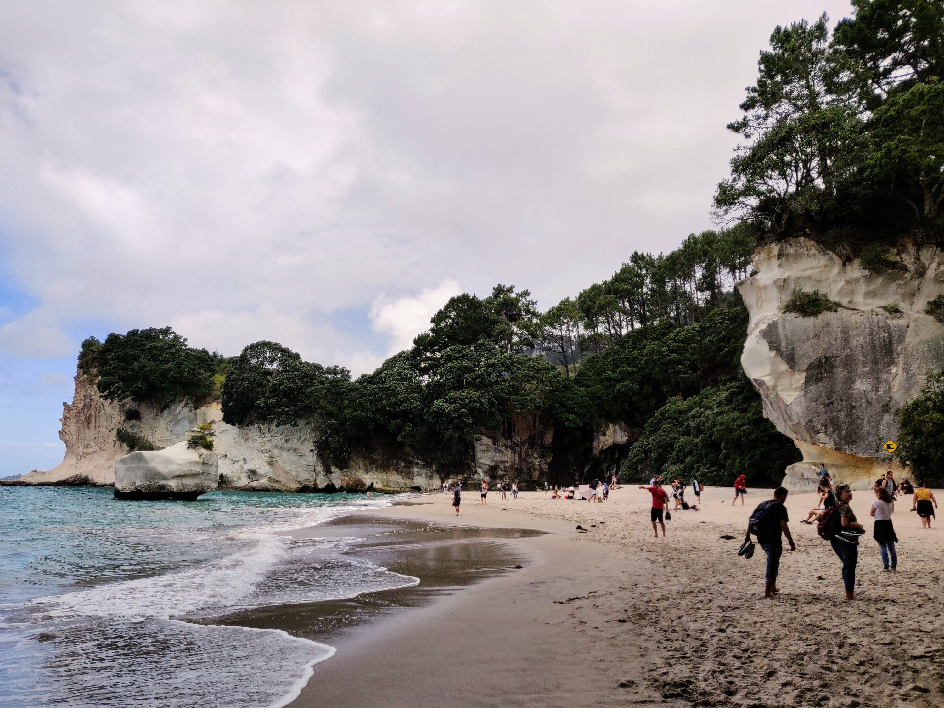
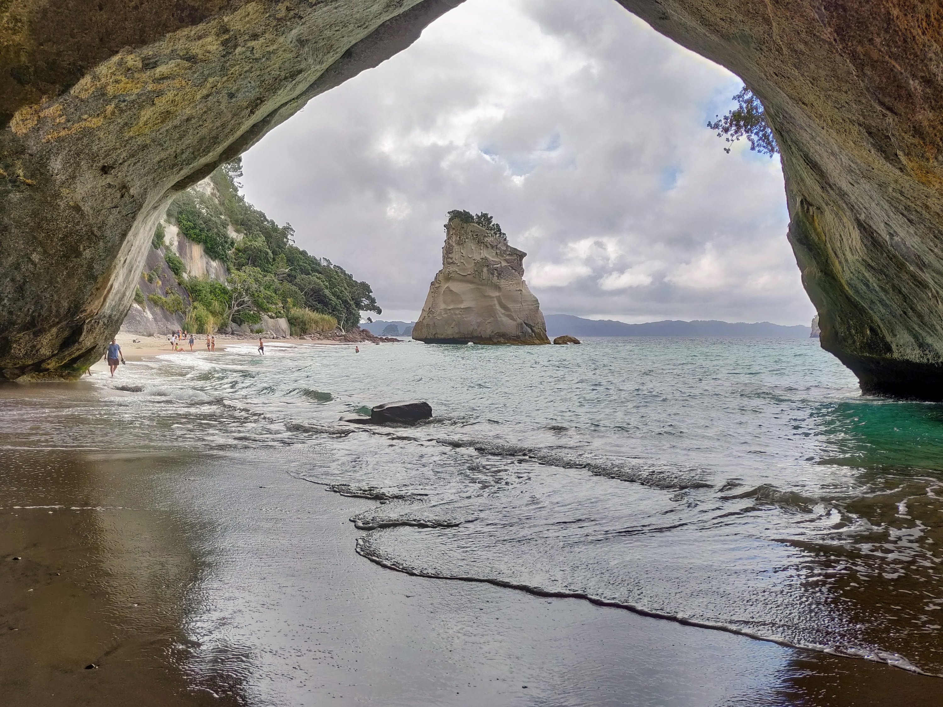
Our first stop over was at Hahei. Here we were able to have a campsite with a view of the sea and walk out to Cathedral Cove.
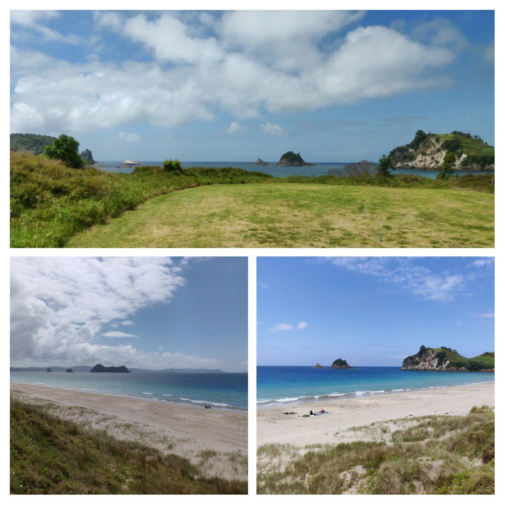
Cathedral Cove is one of those “must see” places on the North Island. It is only accessible on foot, or by boat, being about 2km from Hahei. The walk itself is spectacular but not one you do in high heels, though some tried! It is as popular as our Murder Hole beach in Donegal but a lot harder to access!
Still prefer the Murder Hole!
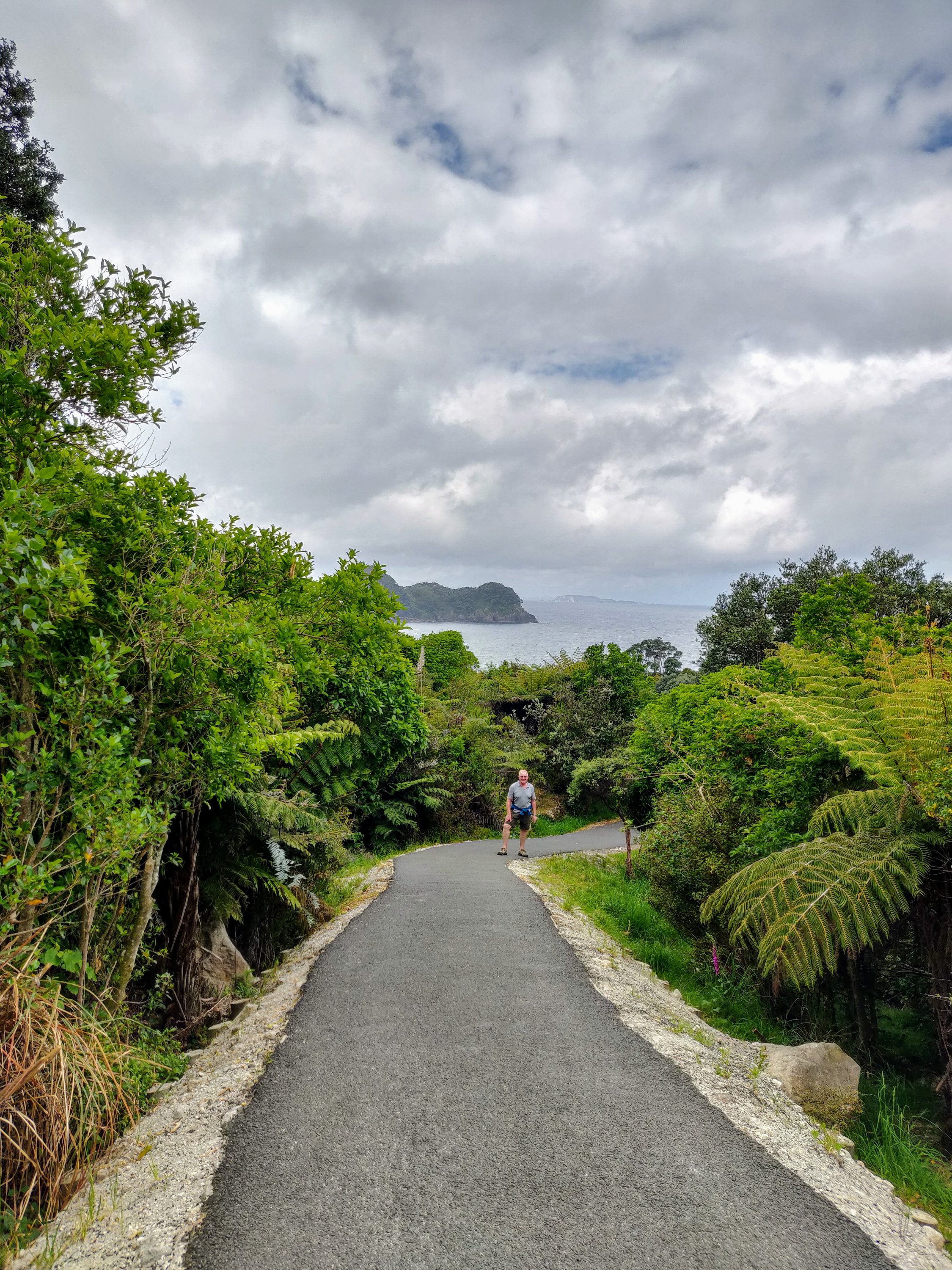
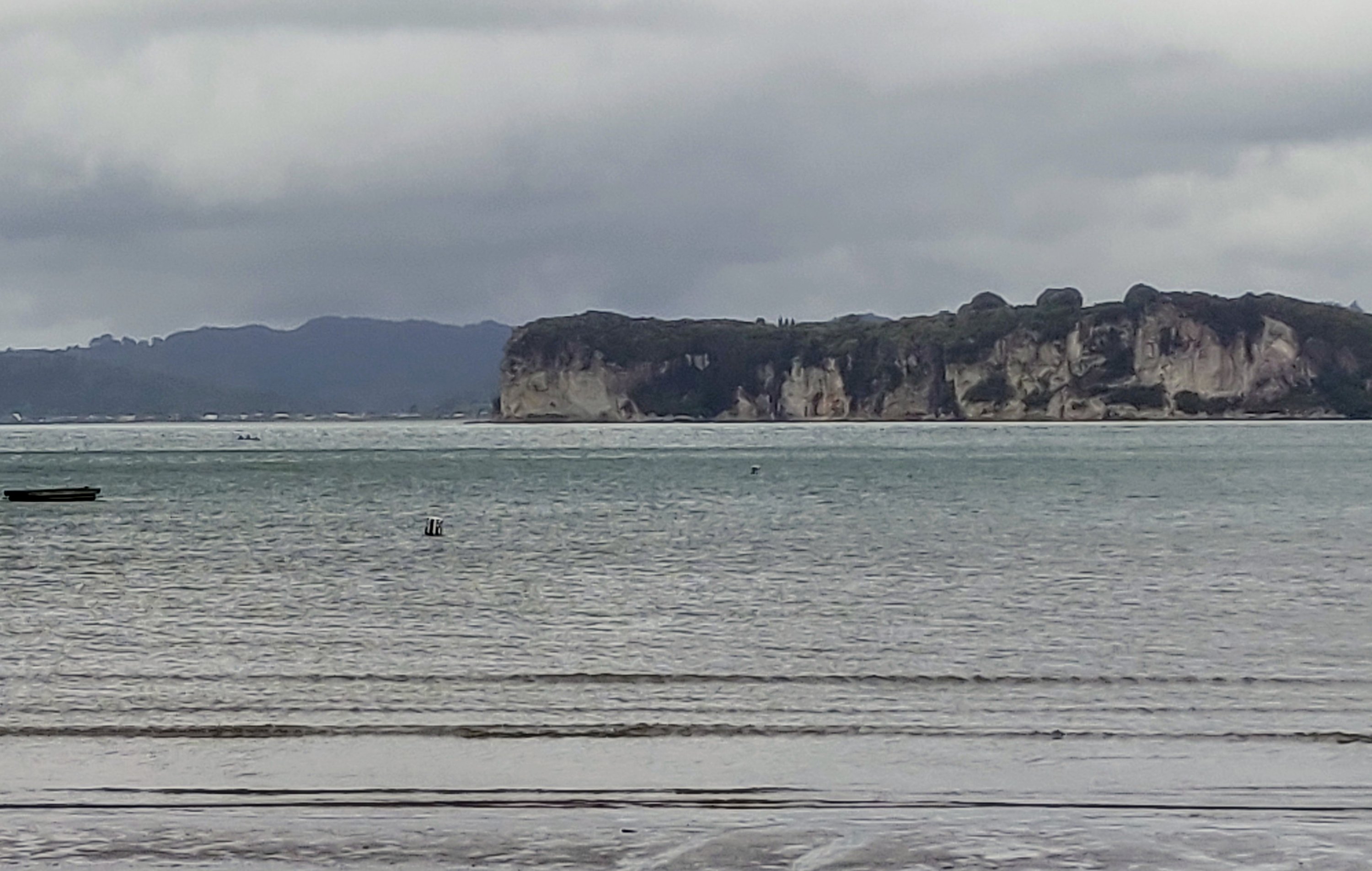
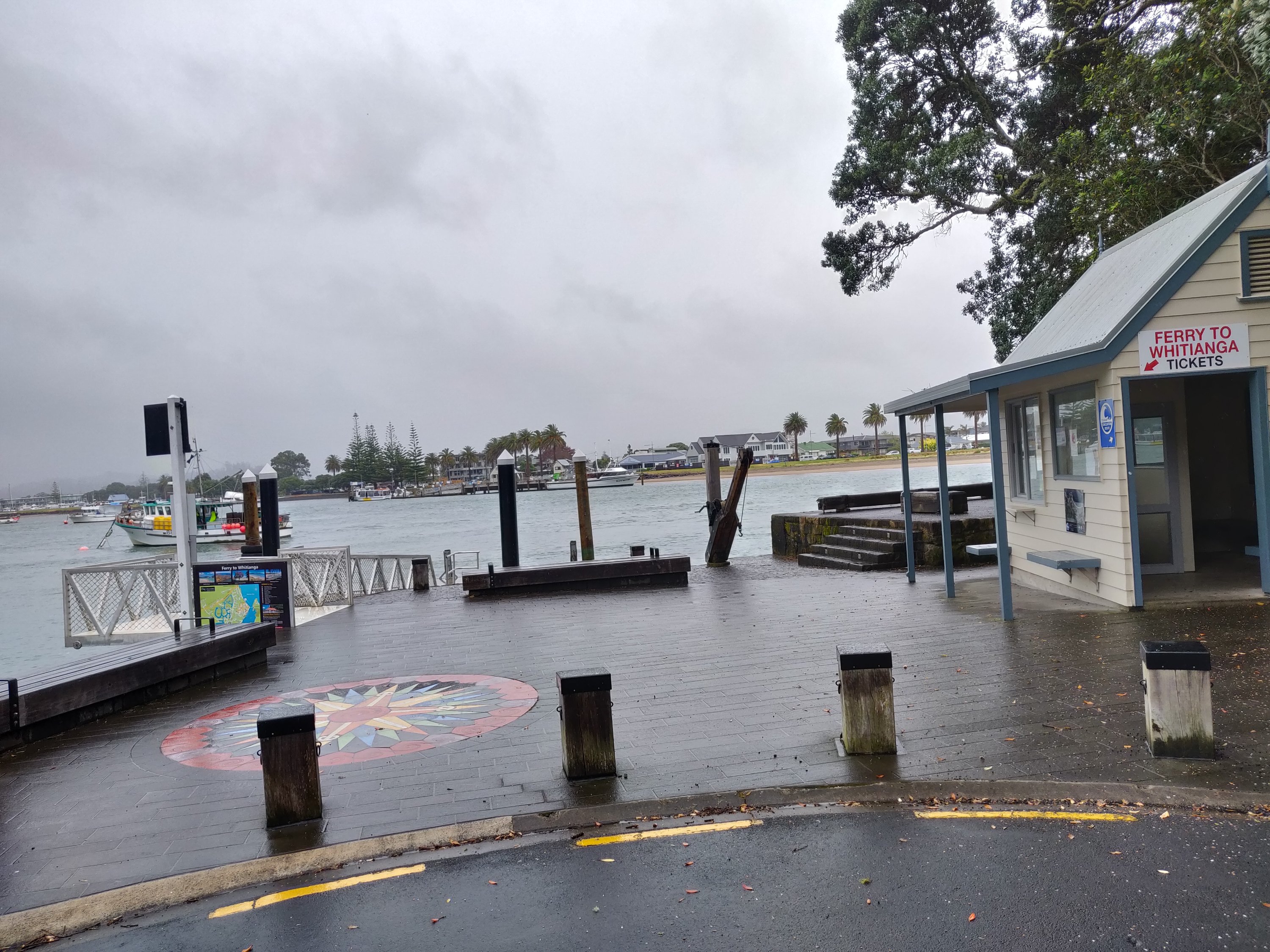
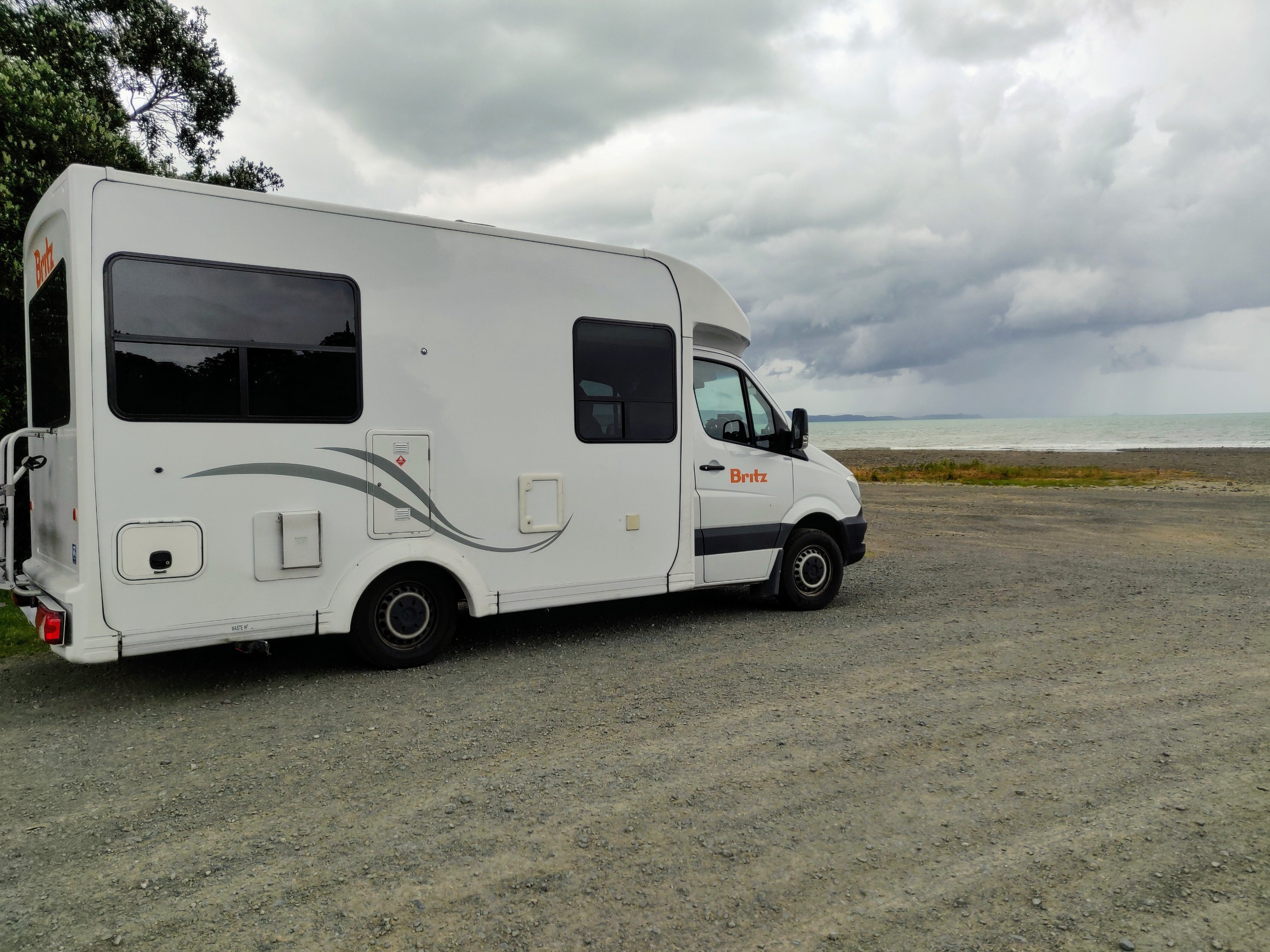
Our next stop over was in Coromandel town, via Cook Beach, Ferry Landing and Whitiango!
raised the Union Jack and claimed the area to the Crown
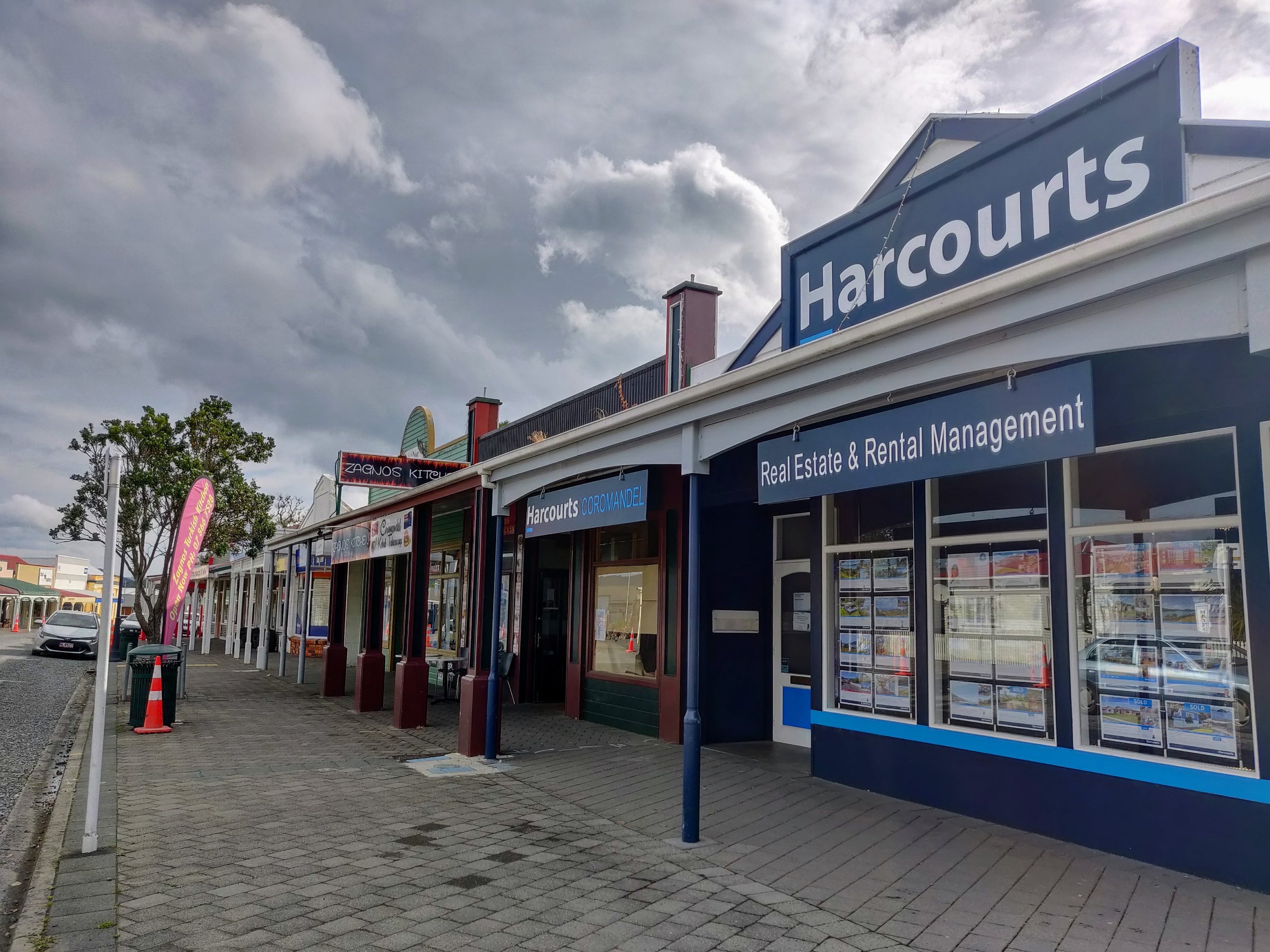
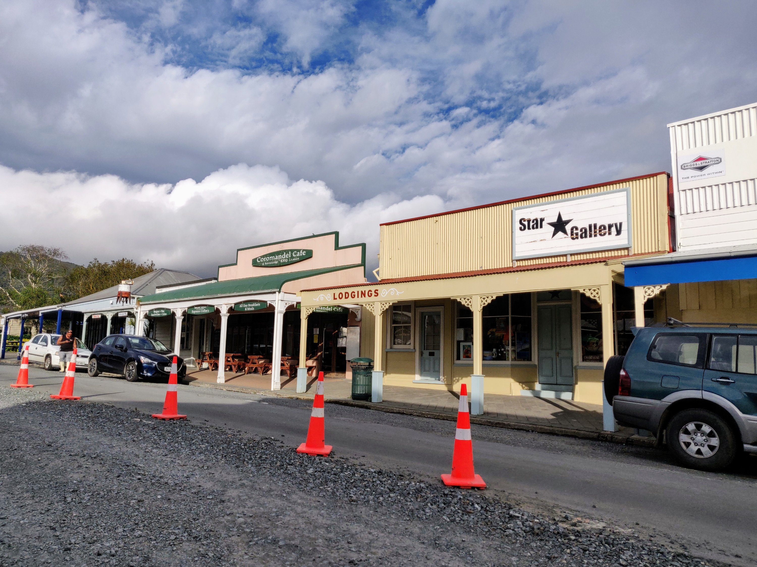
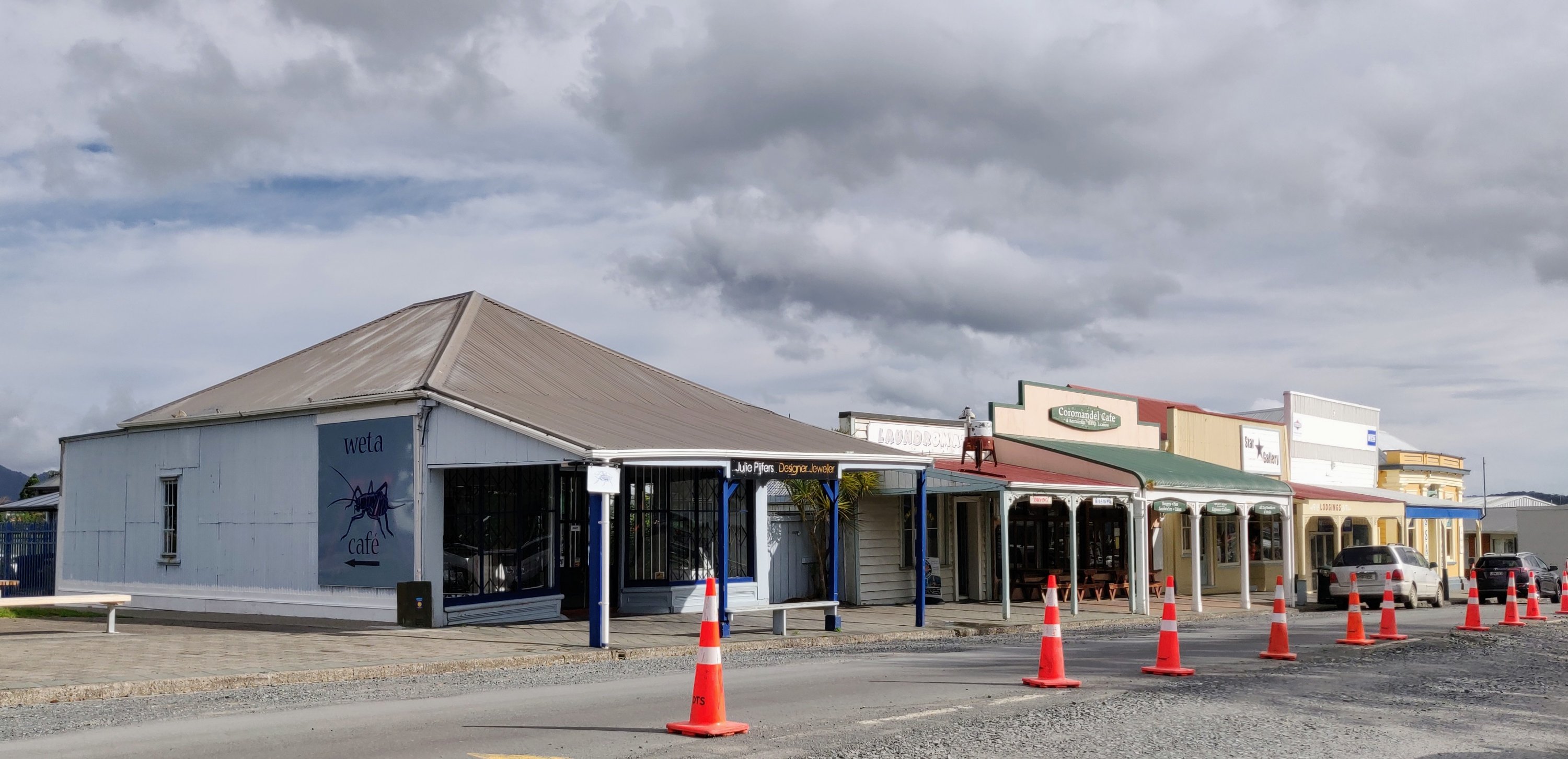
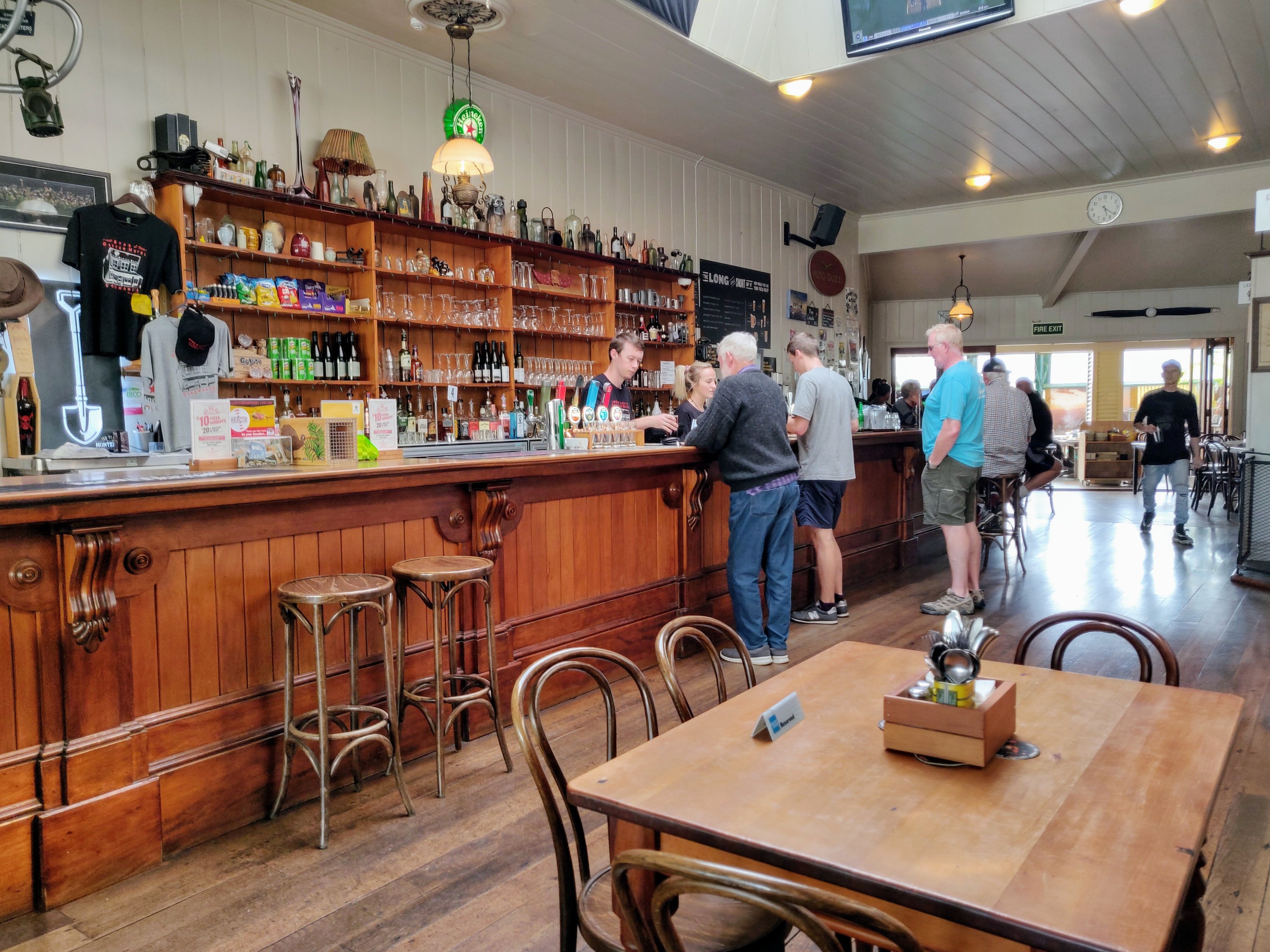
The discovery of gold in 1852 brought a boom to Coromandel and the town has retained the feel of a gold mining town – or what I imagine a gold mining town would be like from the many westerns I was brought up watching!
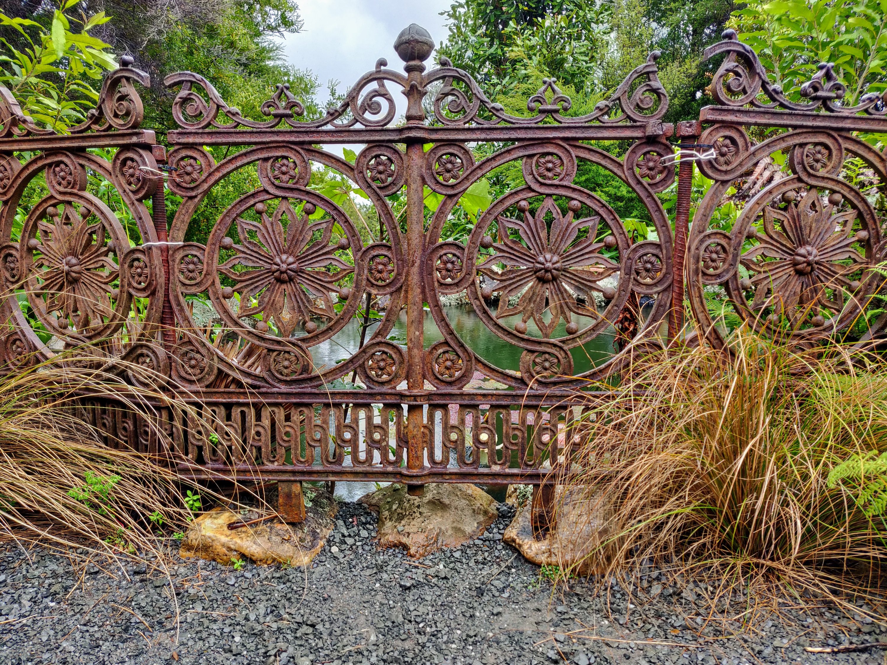
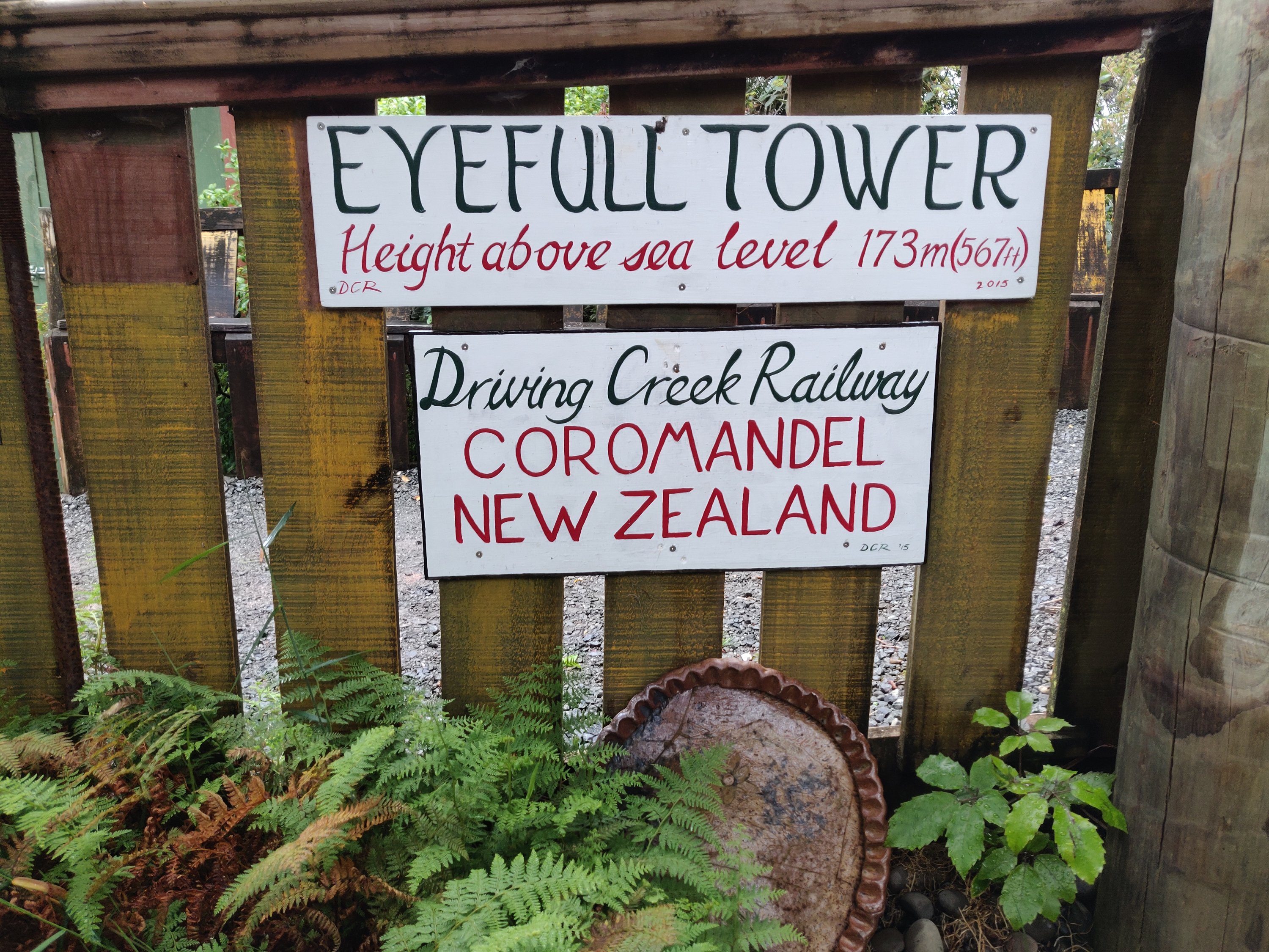
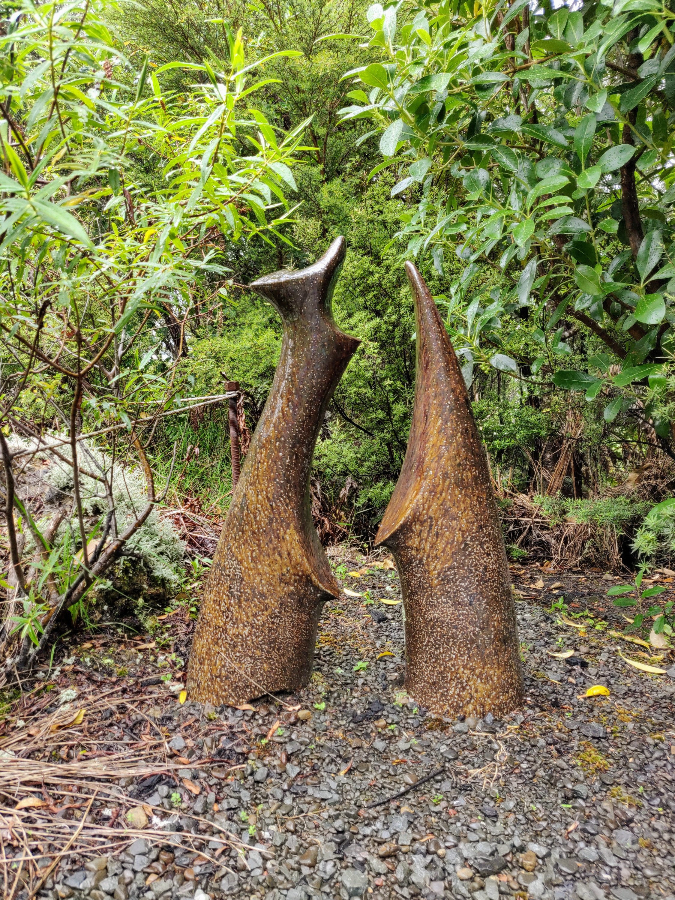
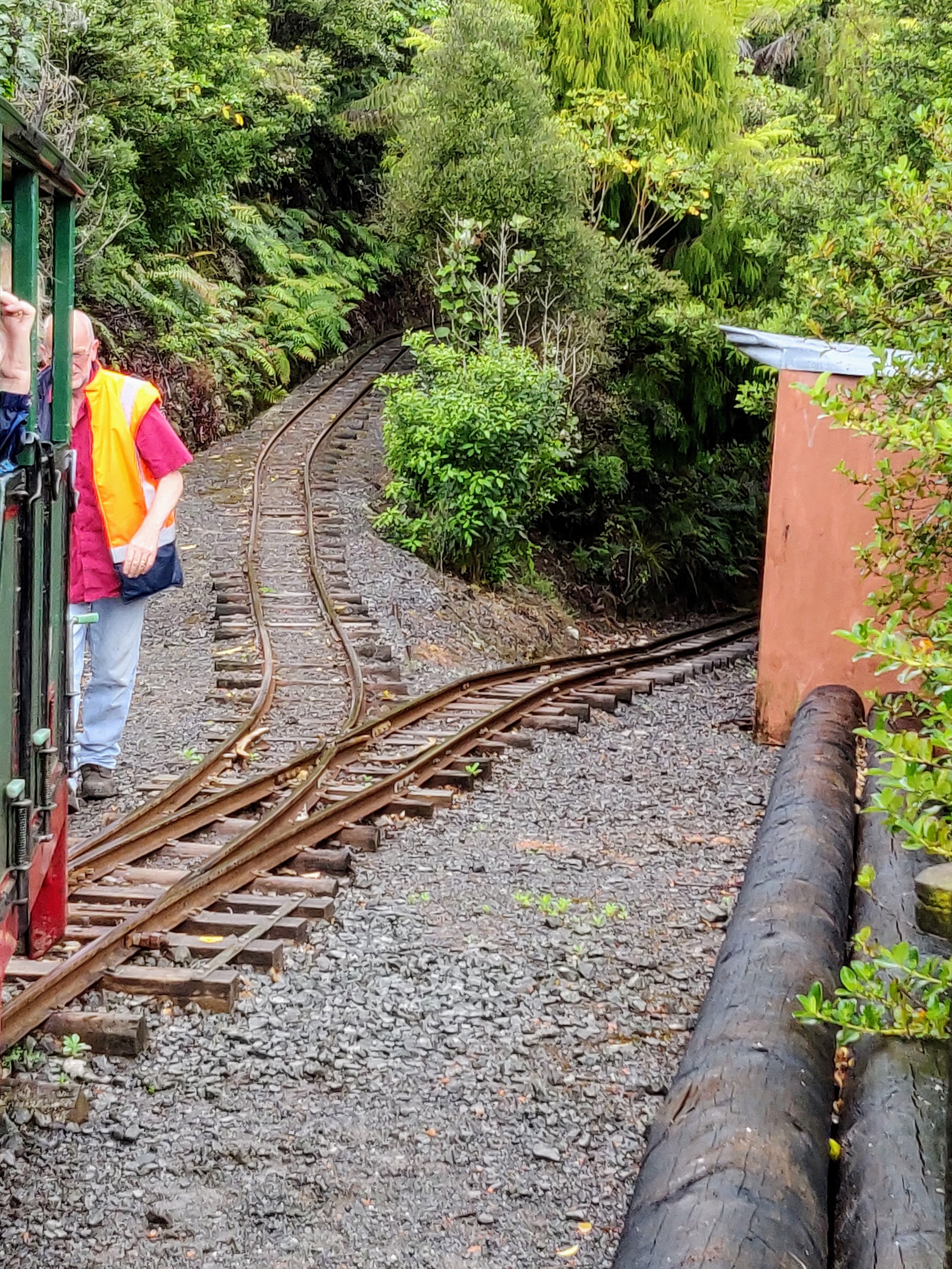
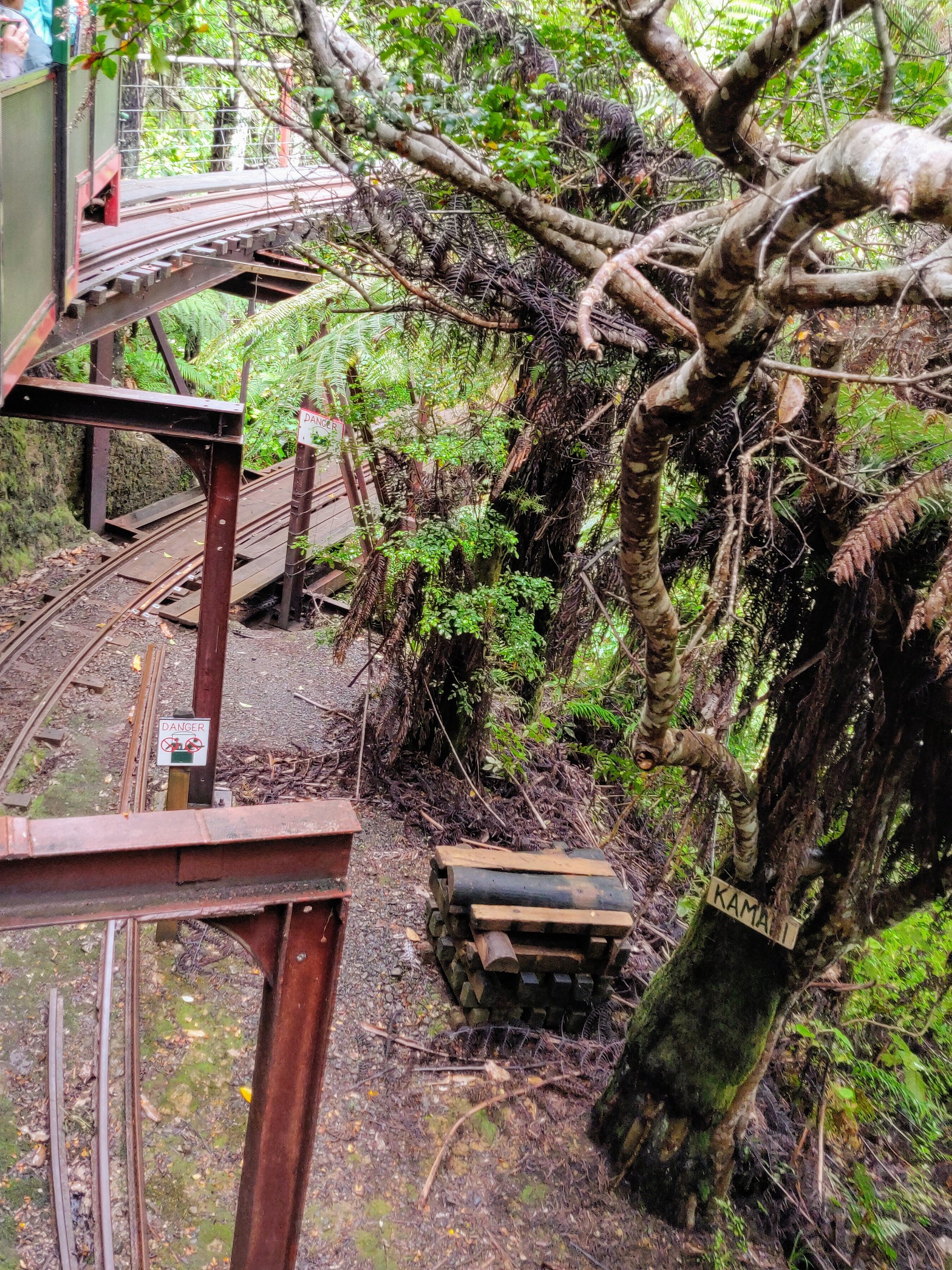
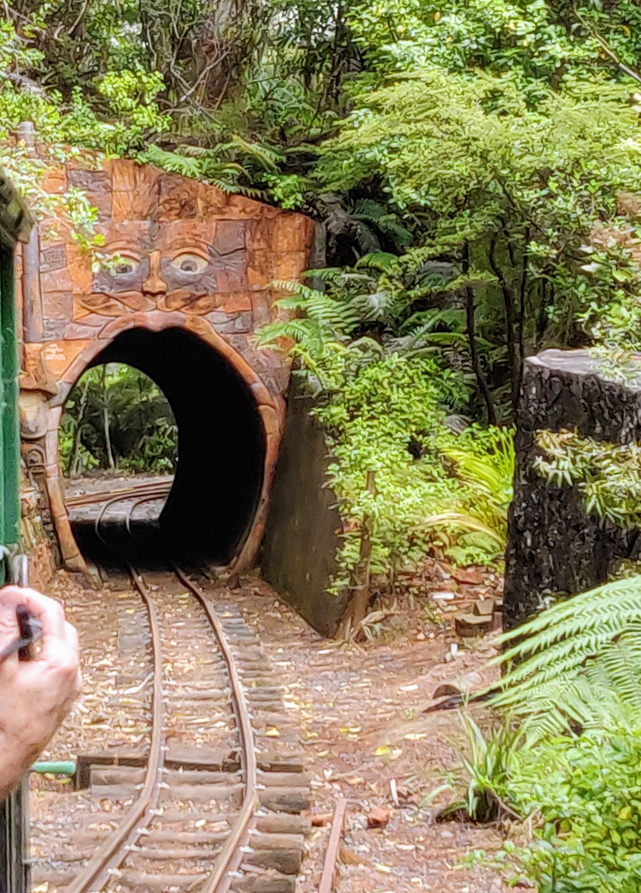
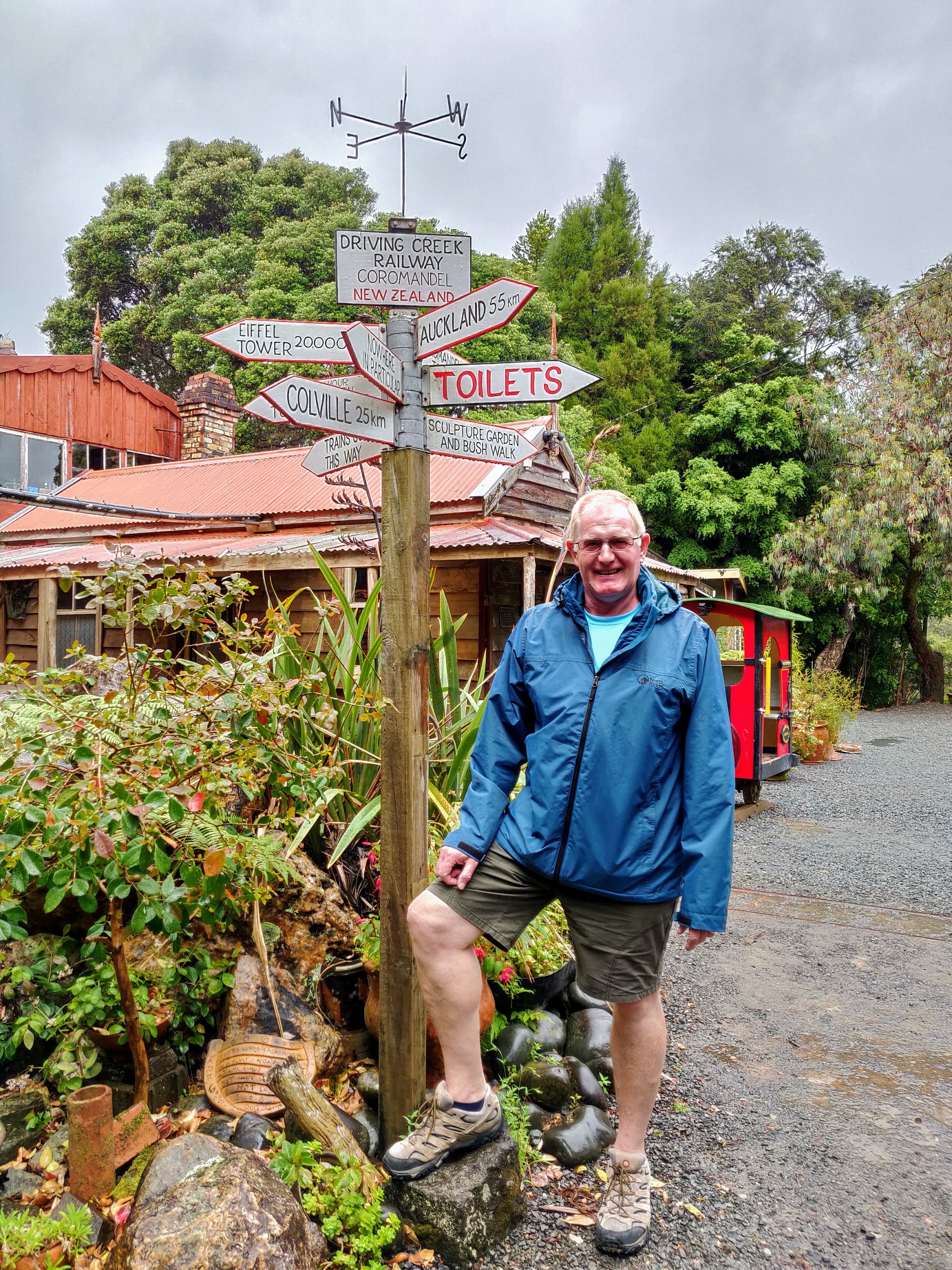
Another must see on the peninsula is the Driving Creek Railway. Even if you don’t have an interest in railways the journey is worth it and the story amazing.
The Driving Creek Railway climbs 2.7km from the Base Station at 55 metres above sea level to EyeFull Tower at 167 metres above sea level, a total climb of 115 metres. With an average gradient of 1-in-24.1 (1 vertical metre for every 24.1 metre of length) the Driving Creek Railway is New Zealand’s steepest railway.
Unlike most other tourist railways, this railway is newly built rather than being an old line that has been restored. It is New Zealand’s only narrow-gauge mountain railway.
https://dcrail.nz/
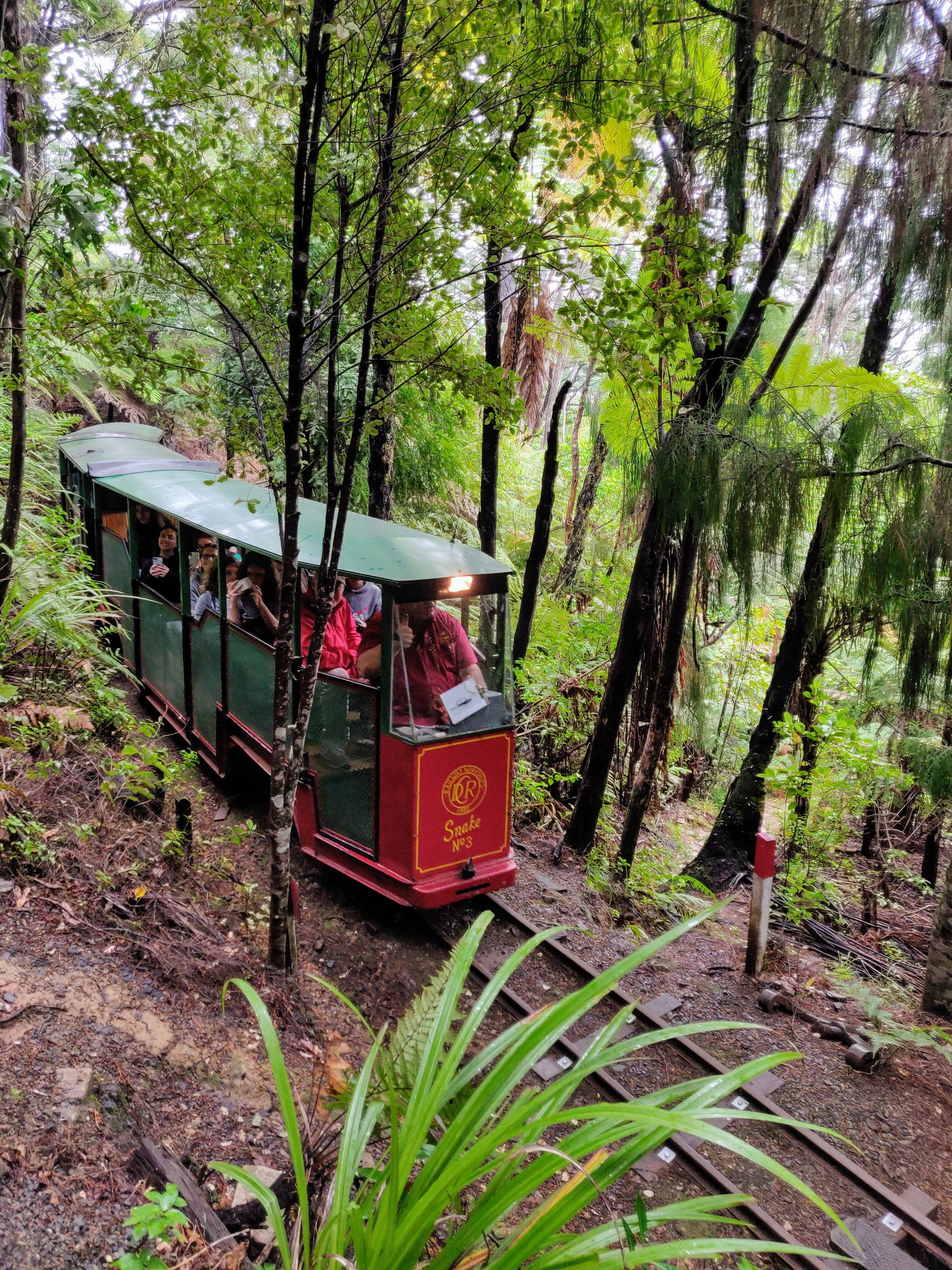
The railway was the passion and brainchild of Barry Brickell. As well as railways and locomotives Barry had an interest in pottery. He studied physics and chemistry graduating with a Science Degree. He moved to Coromandel in 1961 to take up a teaching post but he hated it and resigned after a few months to become a full time potter. He bought the land the railway and pottery are on in 1973 and started the railway in 1985, initially to bring clay to the pottery.
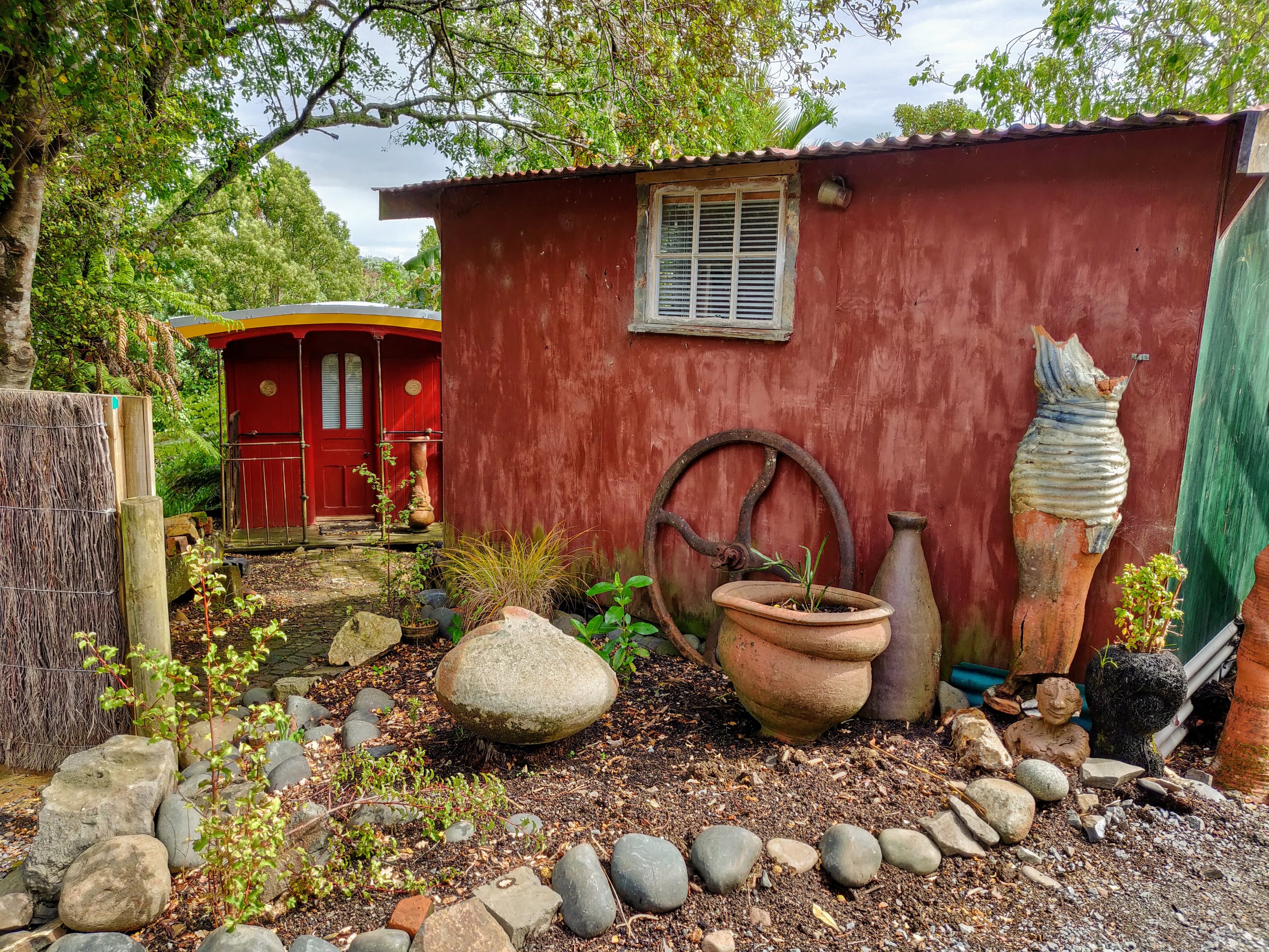
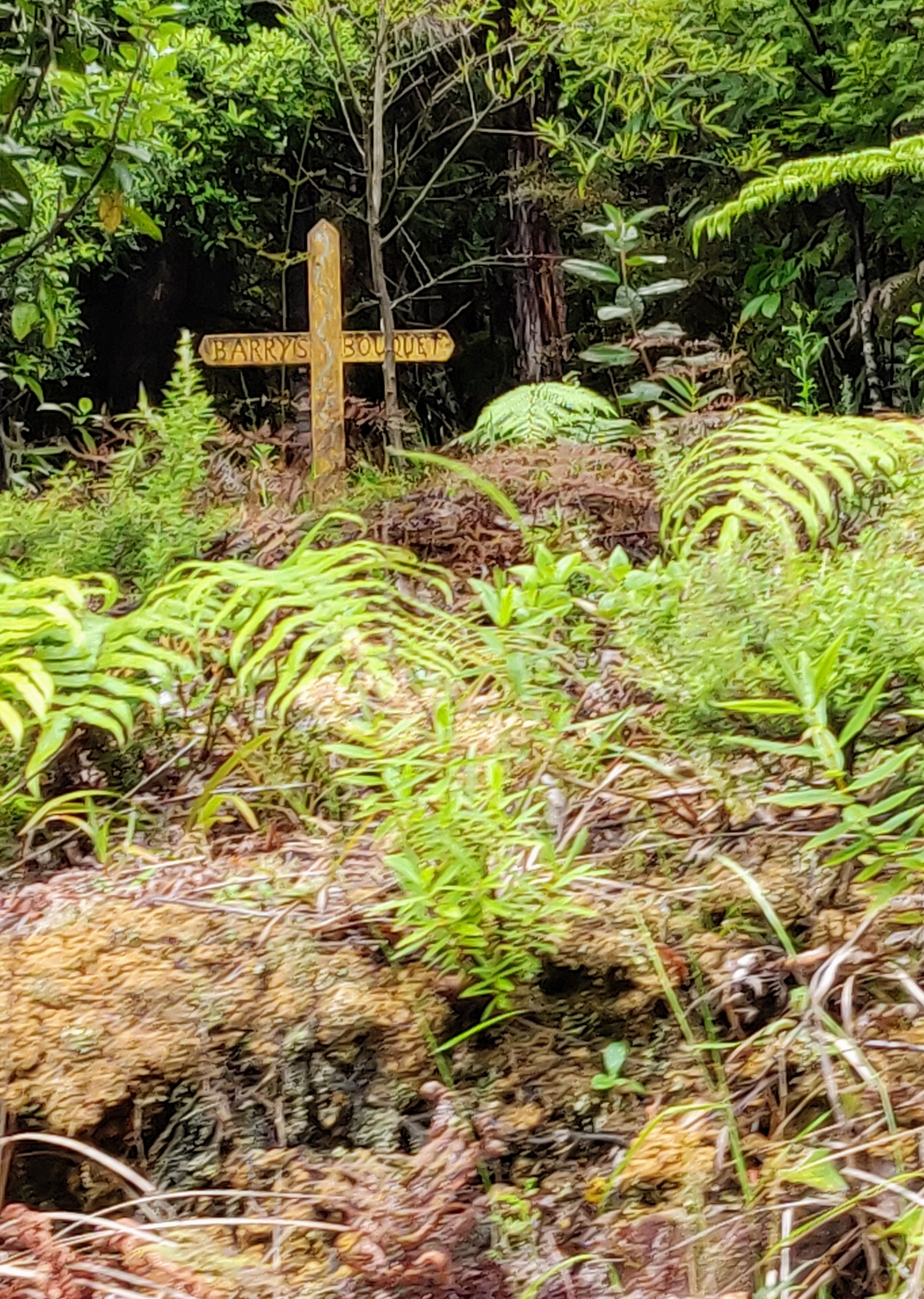
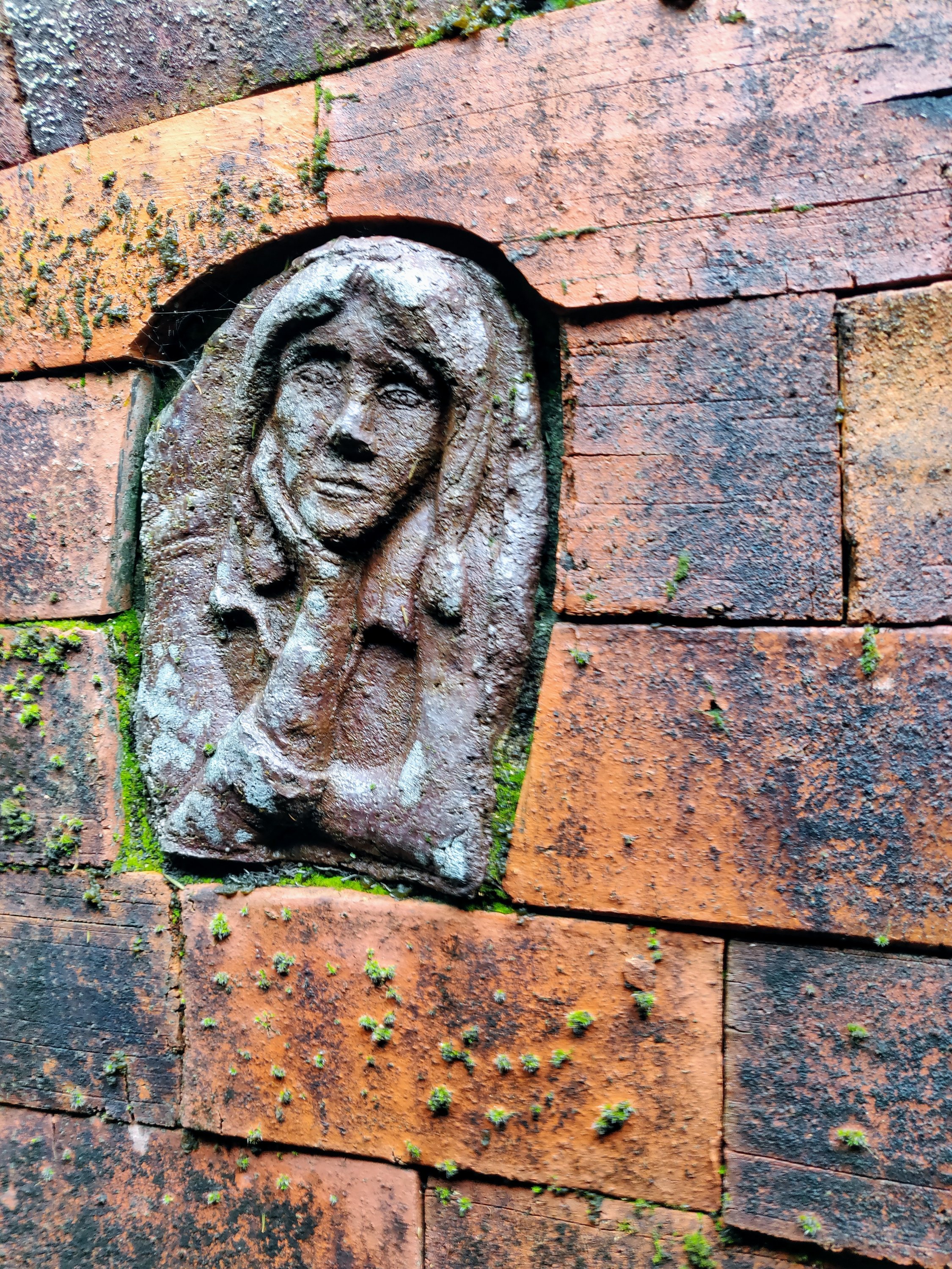
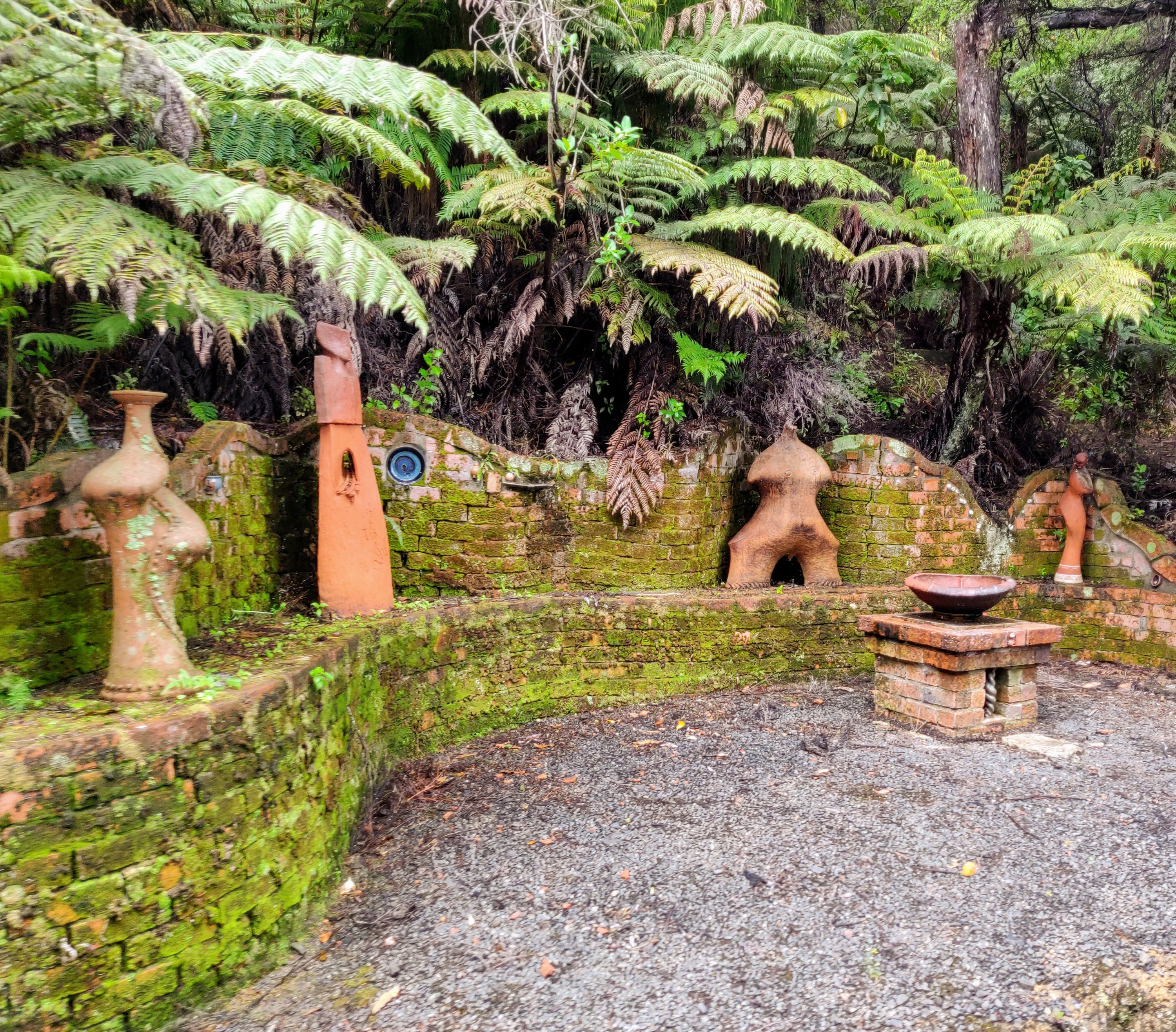
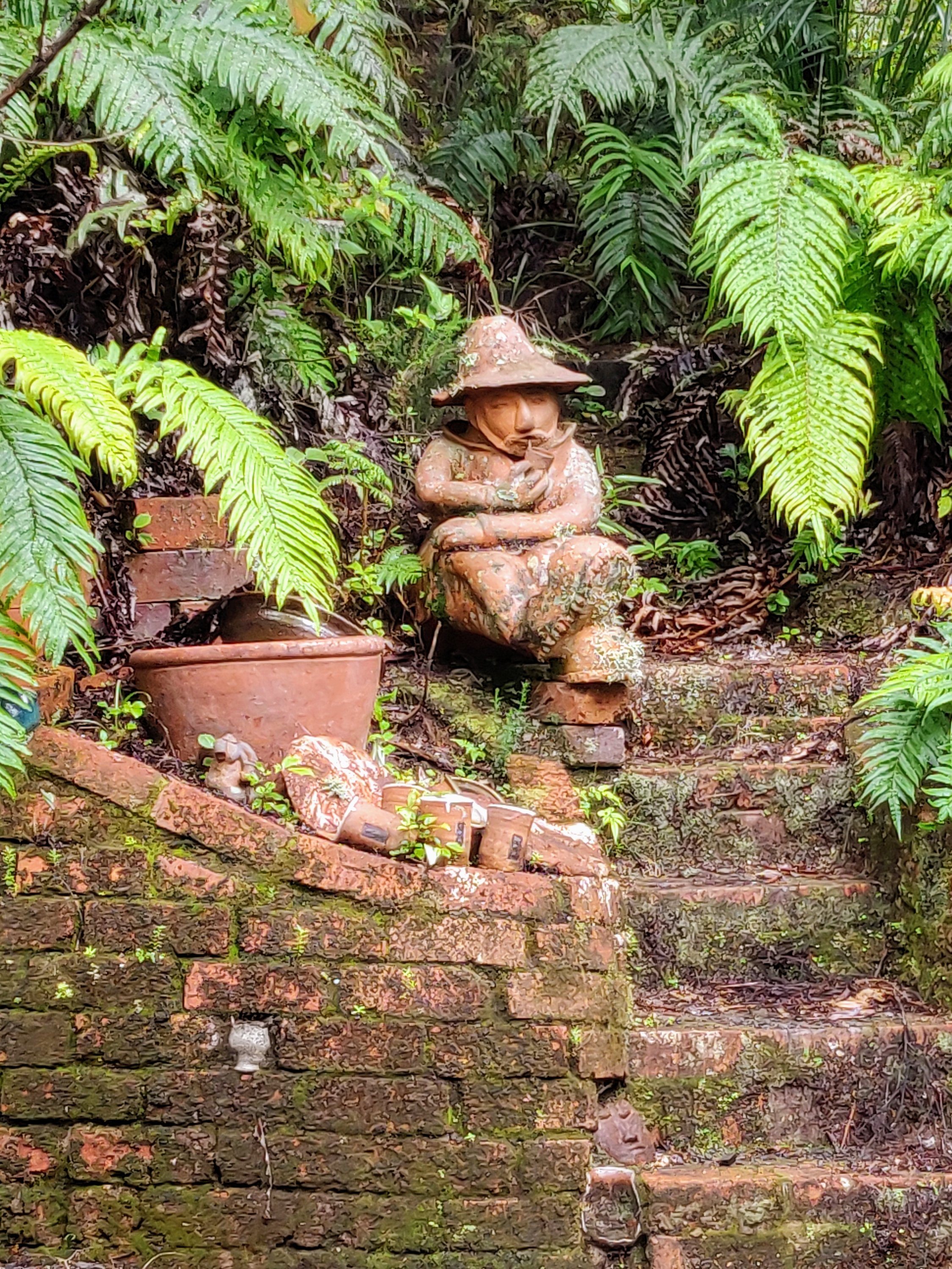
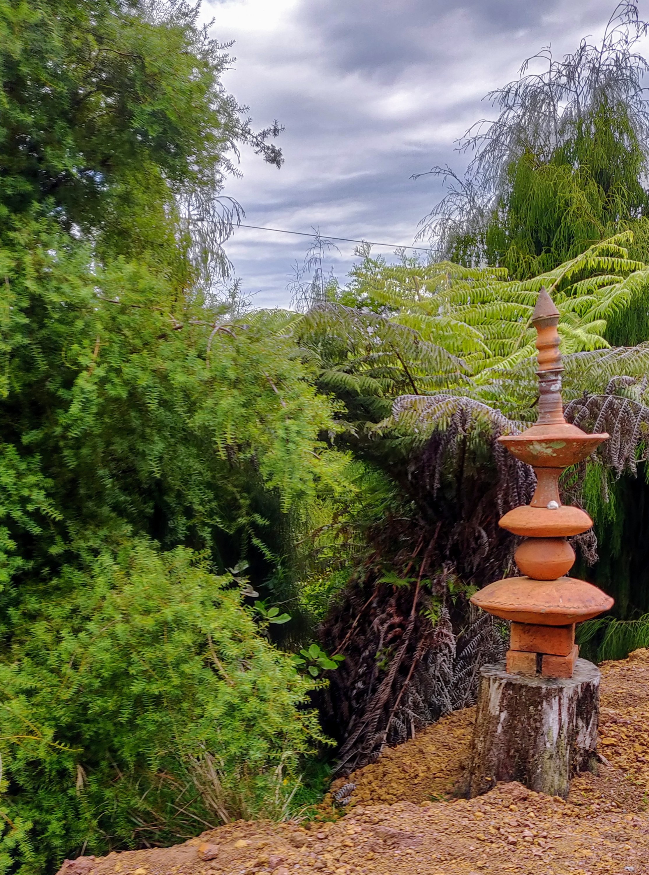
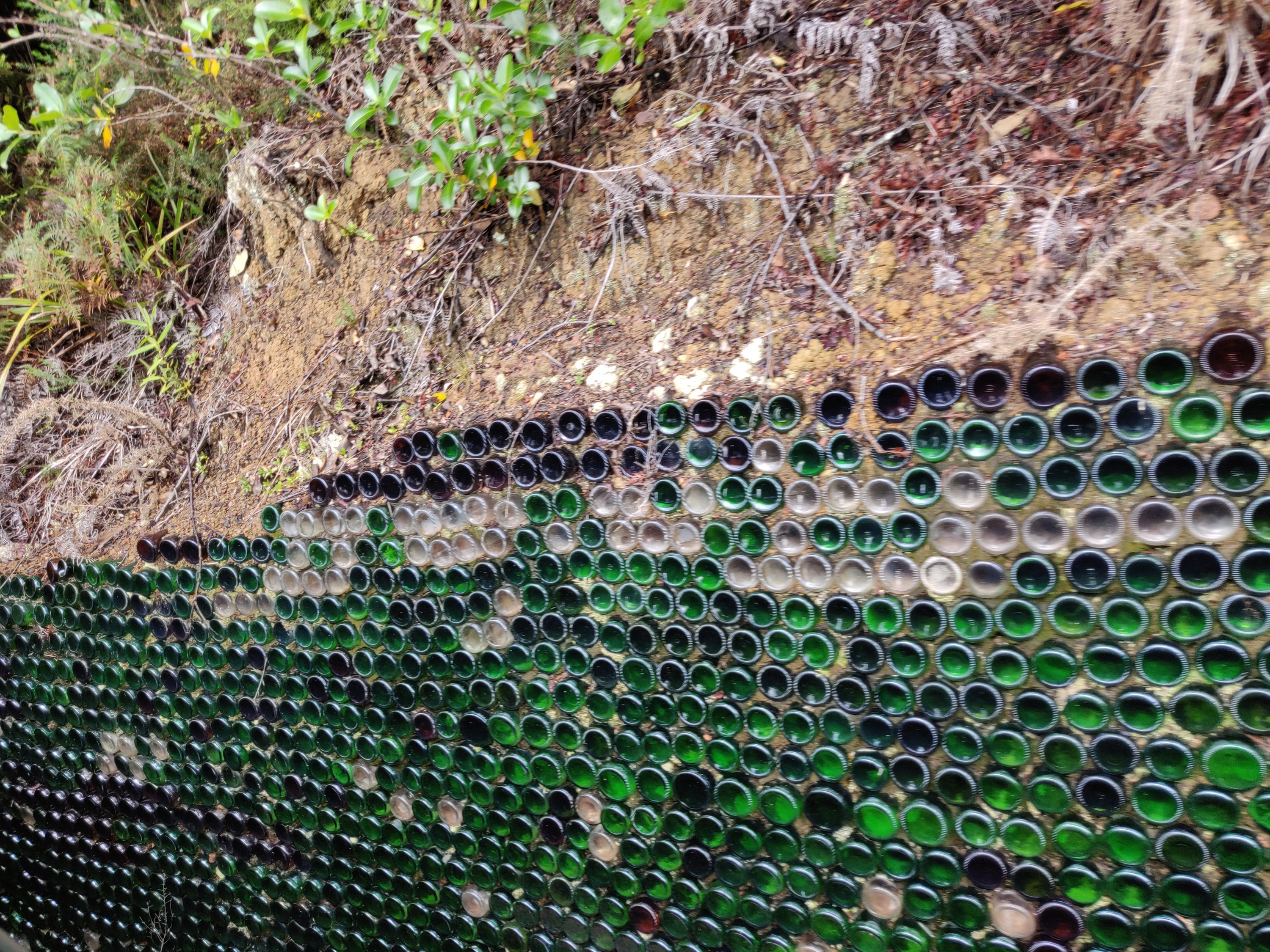
I’m grateful to the website for helping me remember some of the detail and would encourage you to read this story if you are interested. Beautiful place among the trees.
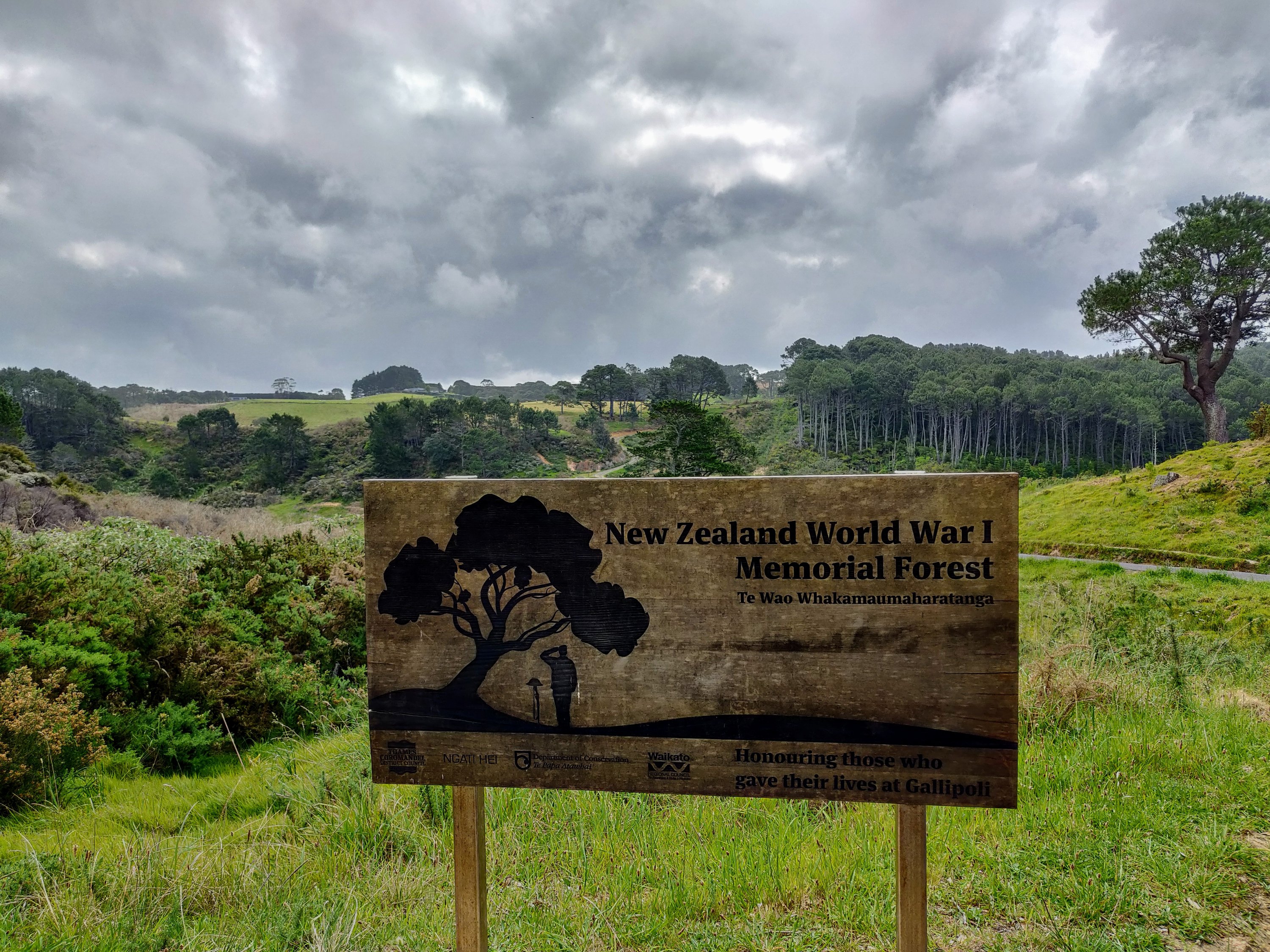
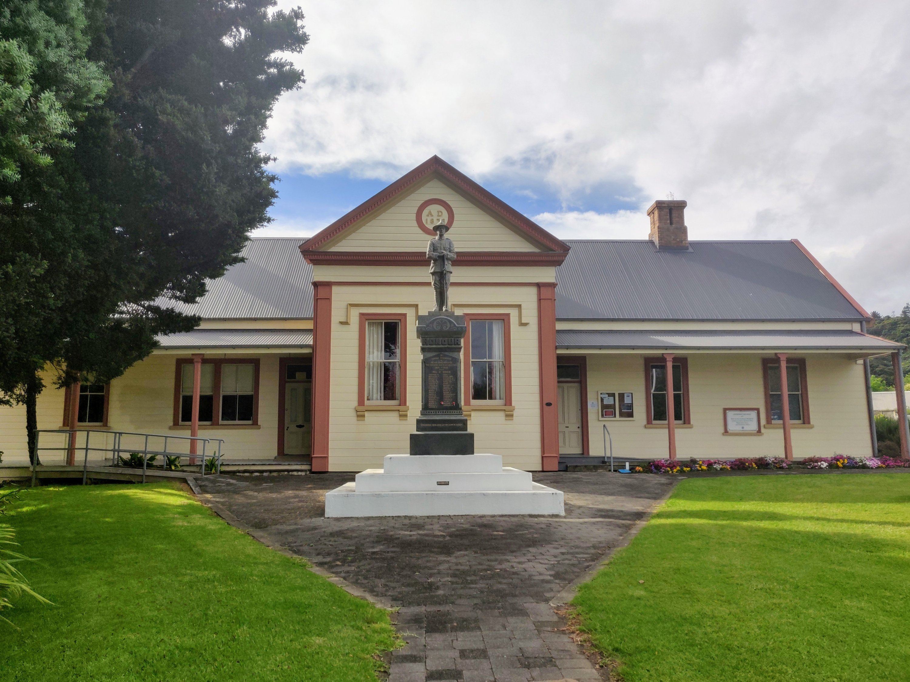
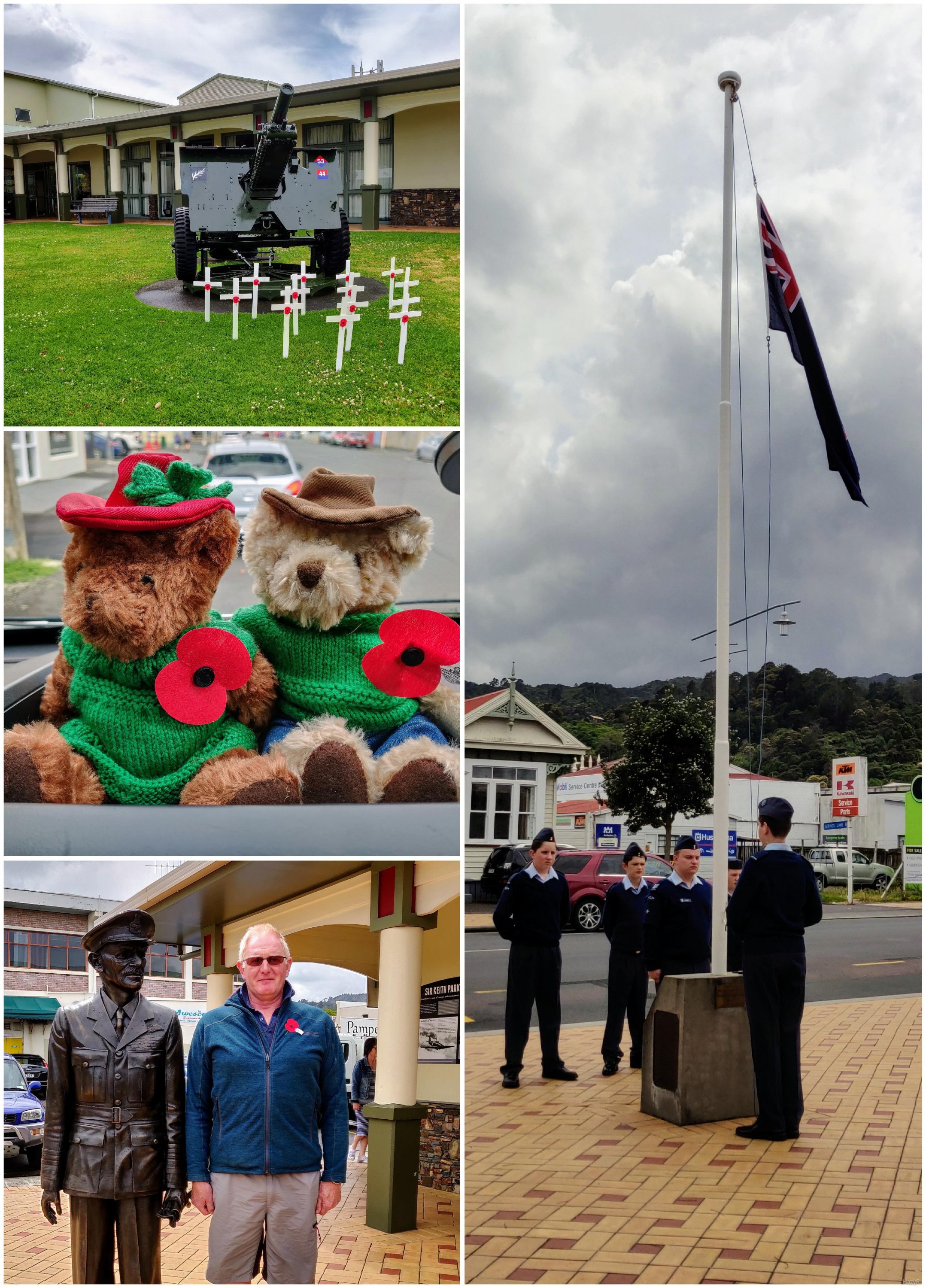
On Remembrance Day we stopped in Thames and observed the ceremony in the town. Having visited the New Zealand memorials in France last year it was poignant to have an understanding how far these young men travelled, only to die fighting a war that really wasn’t theirs.
We had planned on another Okay-2-stay at John Hill estate but it was closed so we decided to push on towards Auckland

Decided against taking pictures!
And so ended our journey round the peninsula and up the west side of the Firth of Thames.
