After the rain and gales overnight we woke to a damp morning. Getting ourselves organised, grateful to Aurum Winery for leaving their toilet block open, we headed on, driving mostly on the southern scenic route which cuts a lazy arc from Queenstown to Te Anau, Manapouri, Tuatapere, Riverton and Invercargill. We’ve covered approximately 564km the last couple of days!
Glenorchy
The road out of Cromwell took us along the SH6, through Kawarau Gorge and across the Gibbston Valley, past numerous vineyards and wineries.


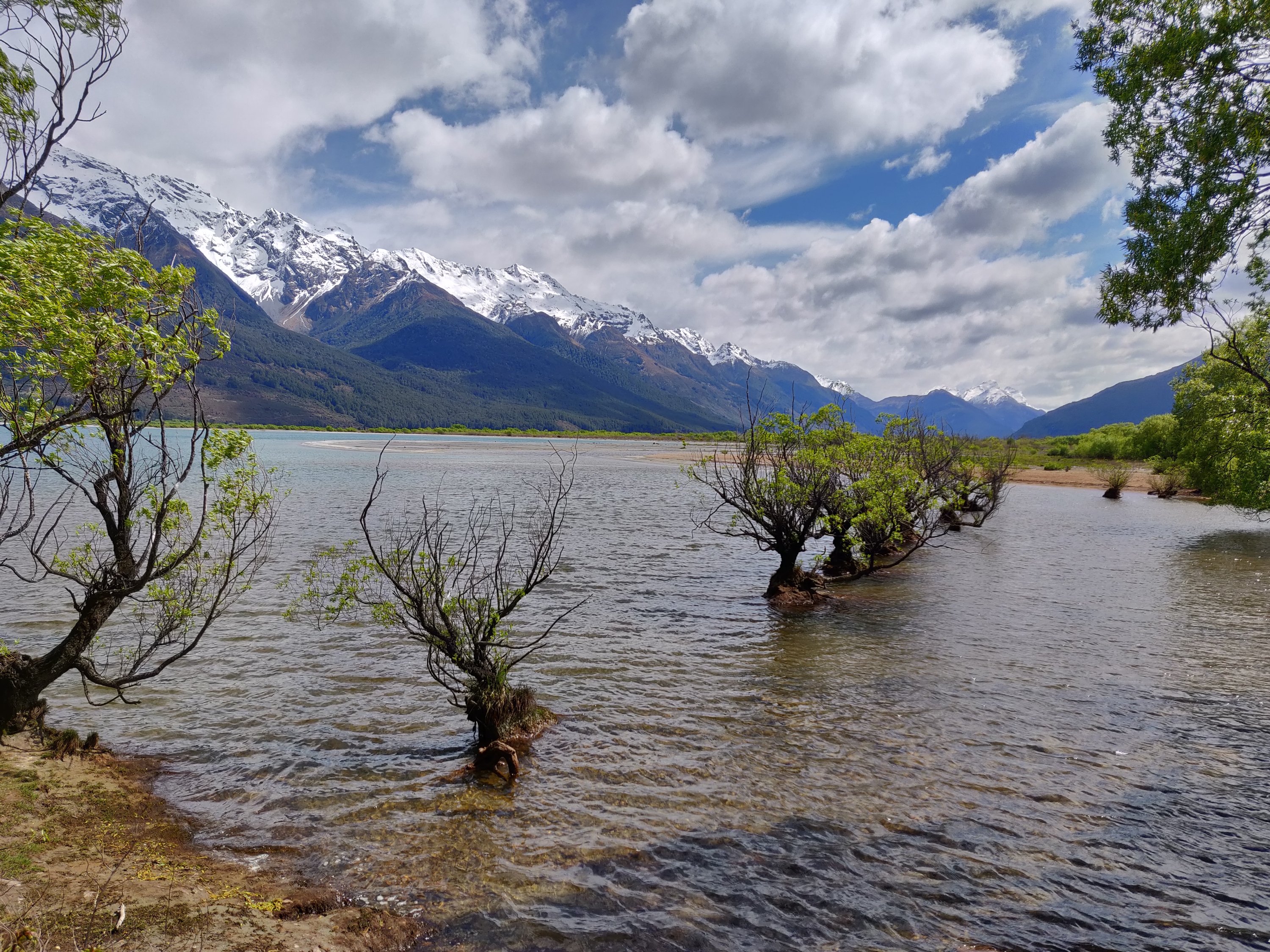
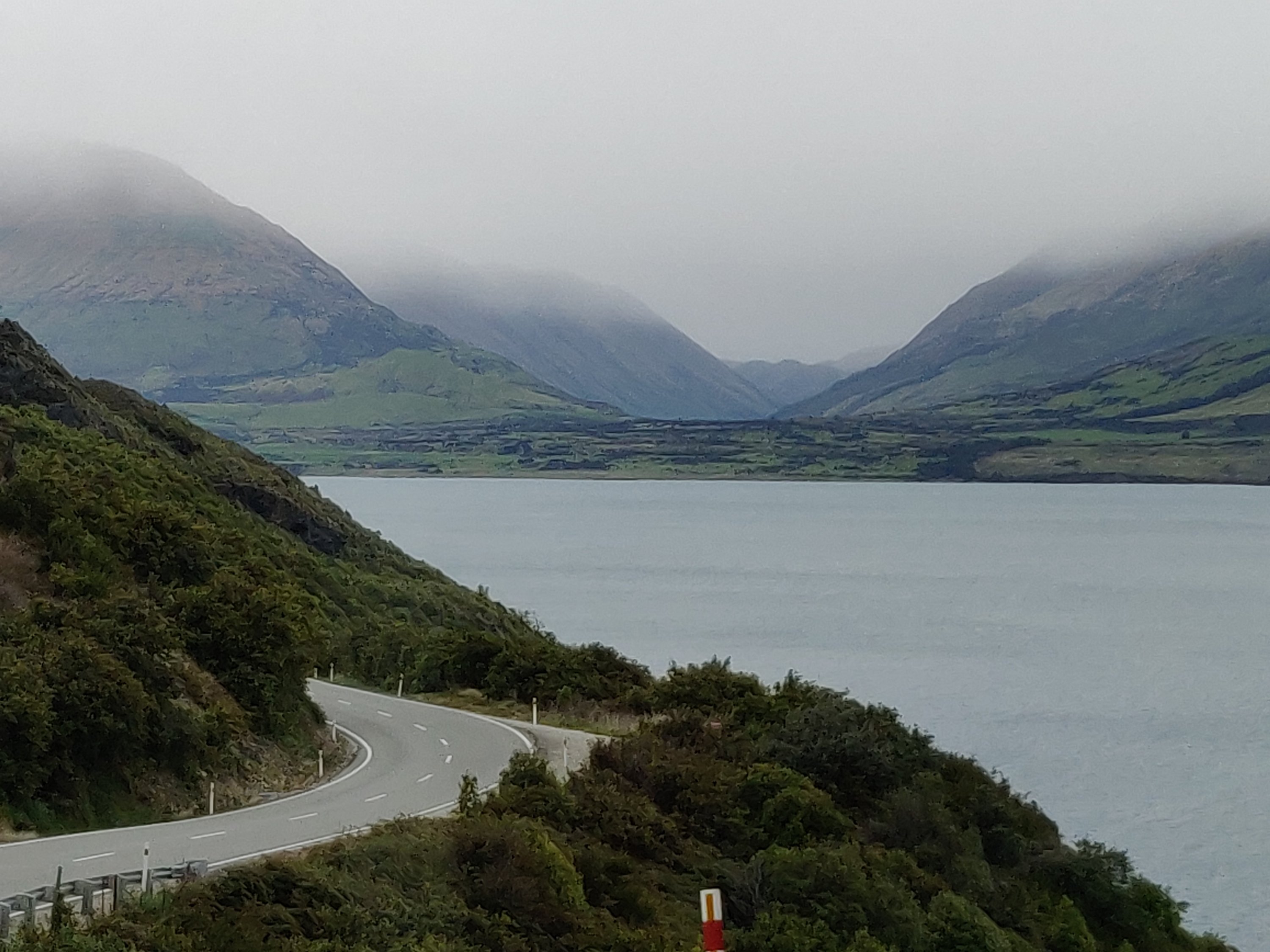
Dropping down in to Queenstown, Lake Wakatipu lay before us. The plan was to stop off in Queenstown and have a look around but parking is at a premium in the town centre and when you are driving a bus ……. maybe next time! We had already decided to stay out at Glenorchy, which lies at the head of the lake, 46km outside Queenstown. The road to it skirts Mount Crichton and Mount Larkins along the side of Lake Wakatipu. The views were just stunning.


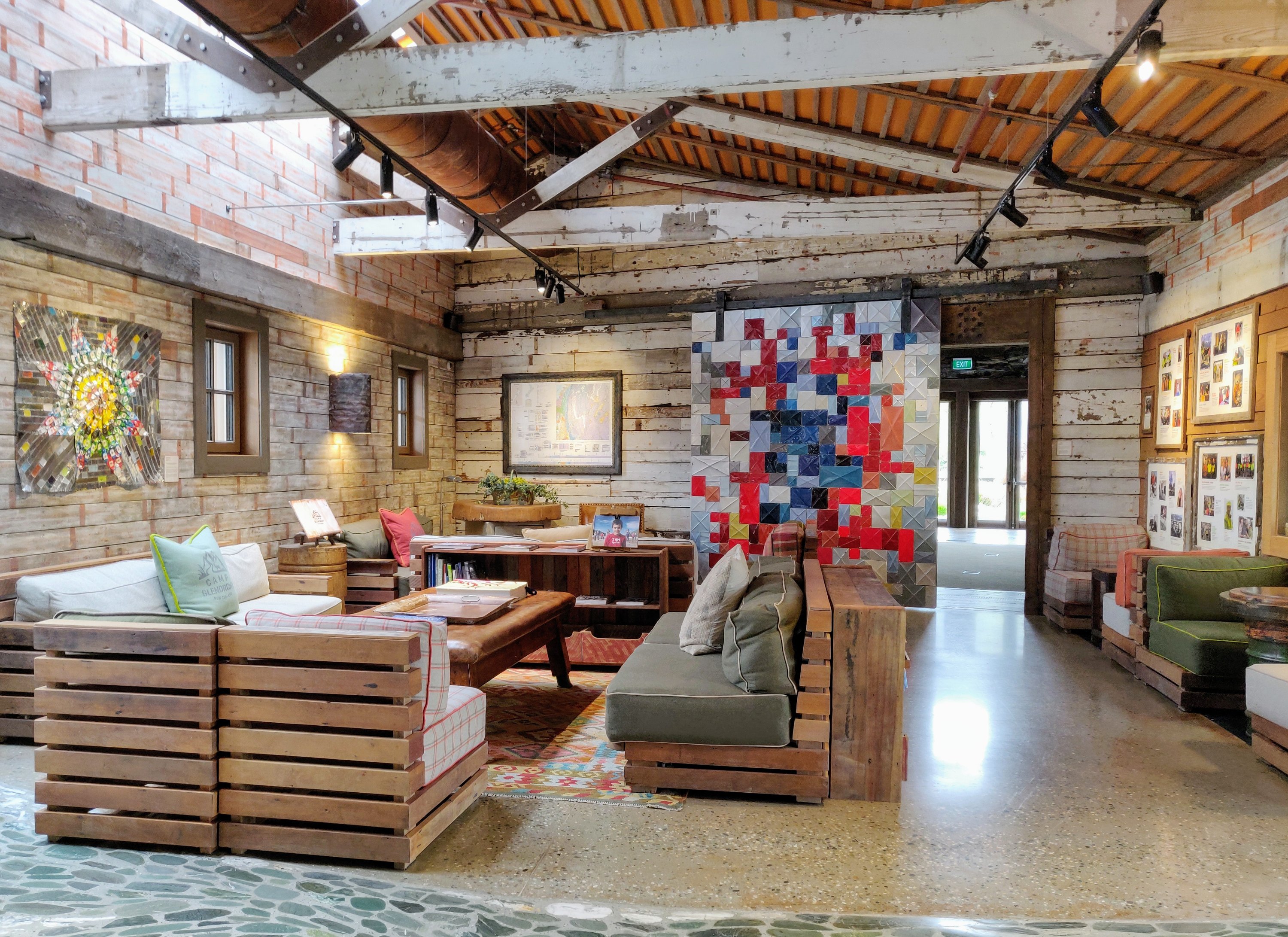
We had booked in to Camp Glenorchy Eco Retreat without knowing it was one of Time Magazine’s 2019 World’s 100 Greatest Places to stay.


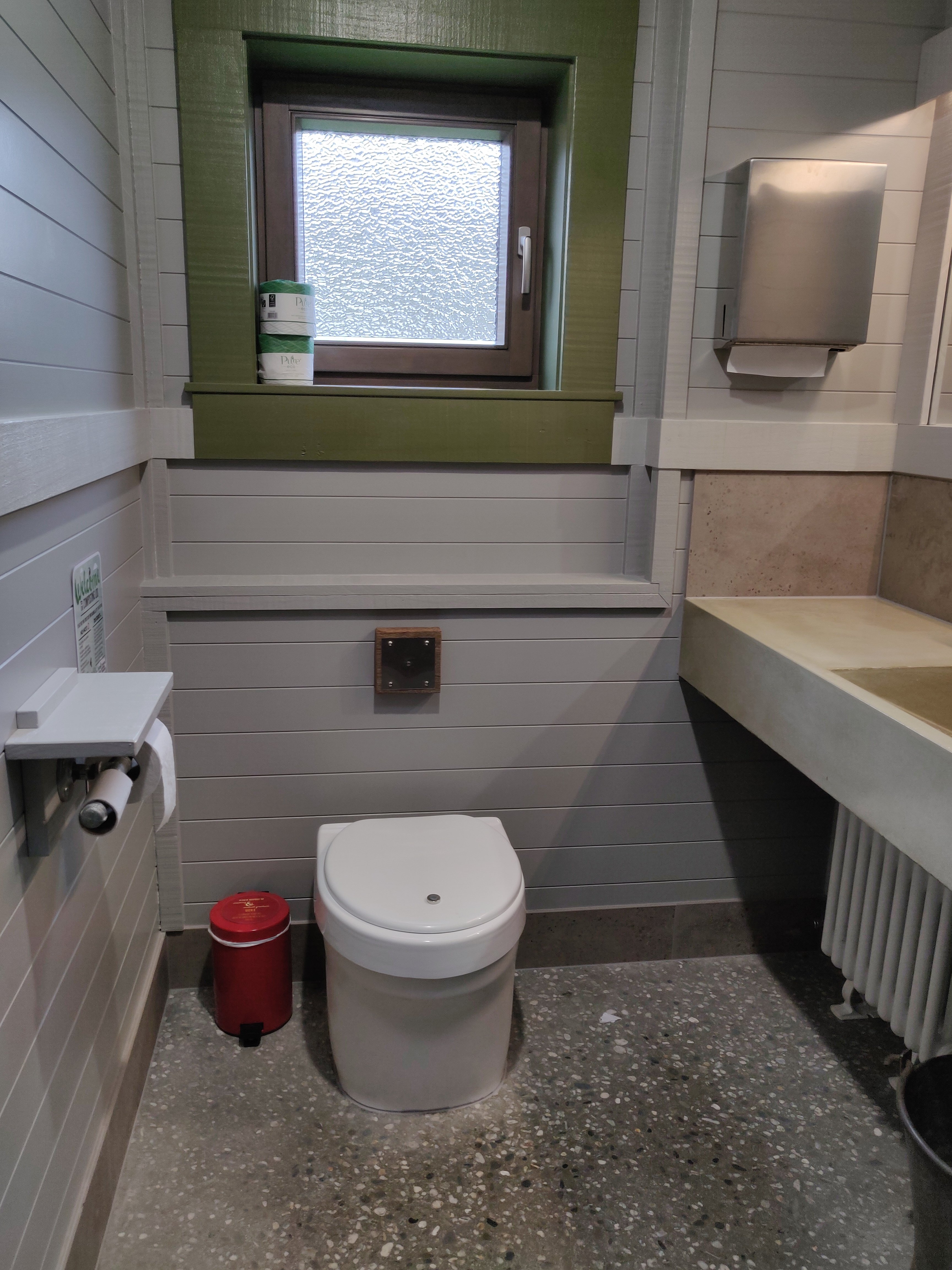
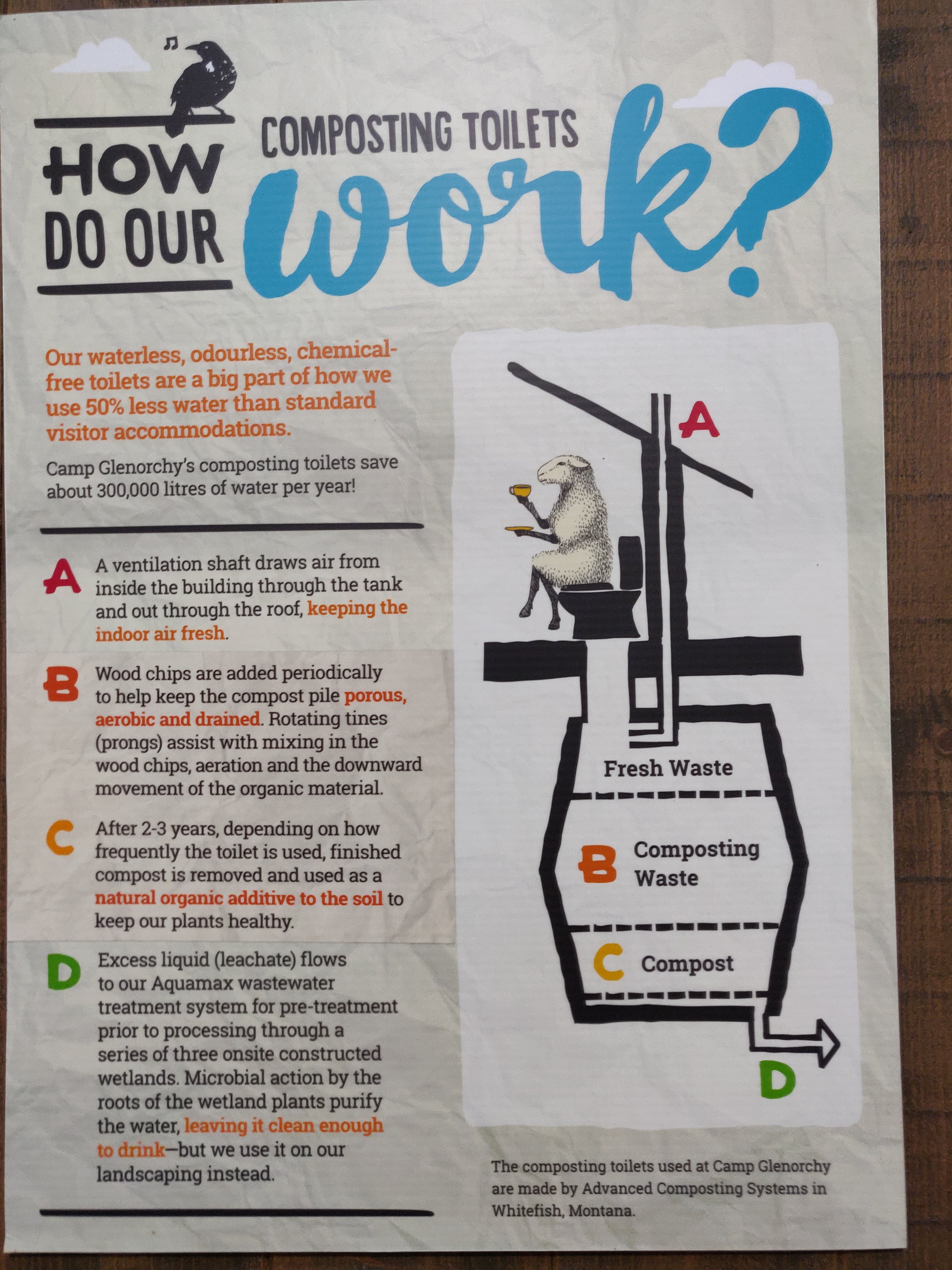
The only thing I wasn’t so sure about were the composting toilets! Didn’t really like looking down a long dark hole when I opened the lid and the draft it blew up my oxters……

The town of Glenorchy is an honest little town nestled at the end of the lake and surrounded by majestic mountains. General store, couple of restaurants, it has provided the backdrop for many films, including The Hobbit and Lord of the Rings.

After a wonderful evening, good night’s sleep we headed off down the road again….


Te Anau
Te Anau is nestled on the edge of Lake Te Anau the largest lake in the South Island and second largest in NZ. It is the main visitor base for the Fiordland National Park.

I’m sure it is a great spot but as the rain came on about an hour after we arrived and stayed on, I really can’t comment! It had been our plan to drive down to Milford Sound early the next morning but the road has been closed for a number of days from 5pm ish until mid morning. Instead we booked ourselves on a tour to Doubtful Sound.
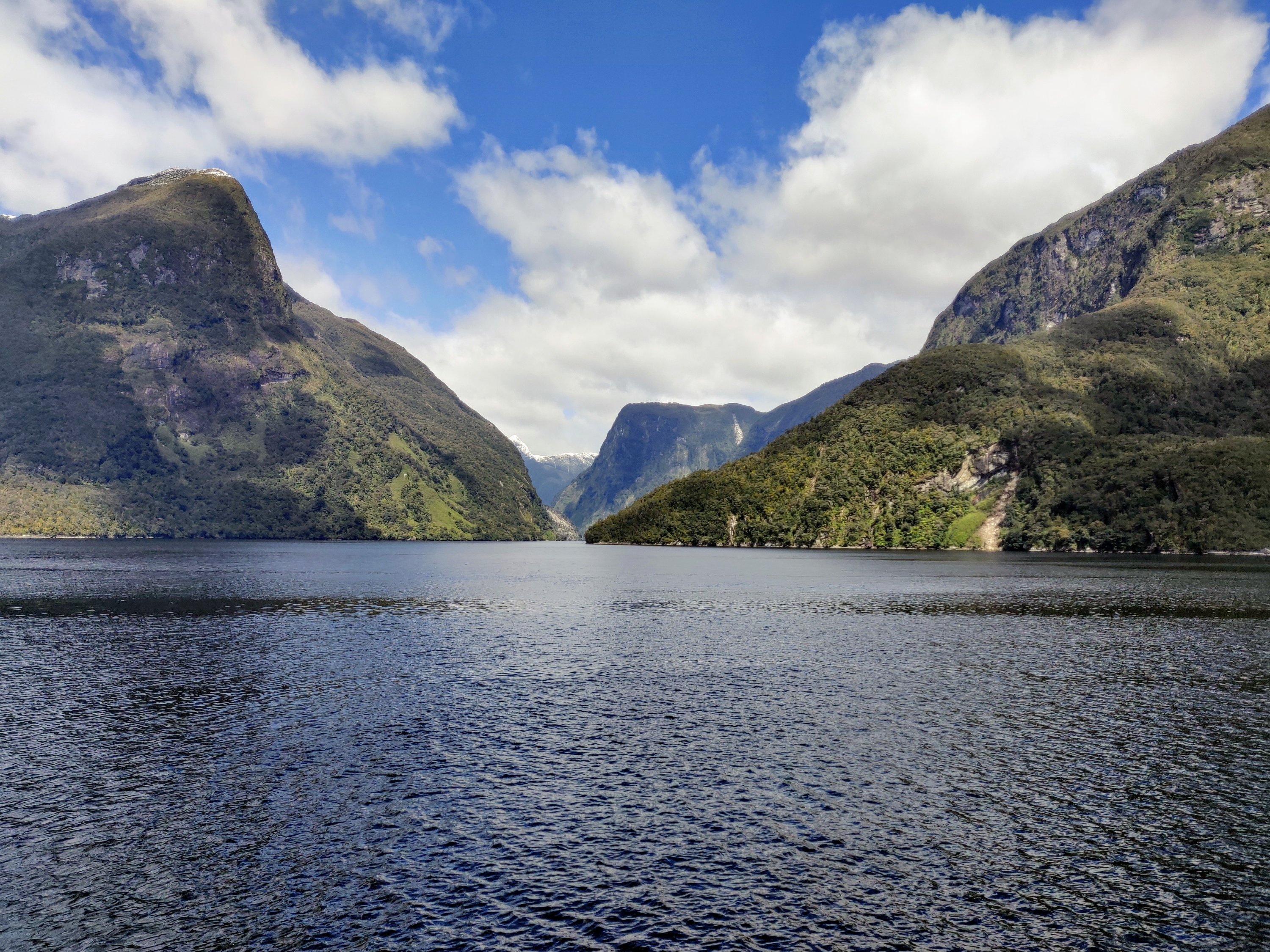
Doubtful Sound
Doubtful Sound is only accessible by boat and in order to visit you need to drive (or take a bus) to the town of Manapouri, join a cruise across Lake Manapouri and then get a bus over Wilmot Pass to Deep Cove to join a cruise on Doubtful Sound.


On arrival at West Arm we were out on to buses for the journey to Deep Cove, the head of Doubtful Sound. The road was created to accommodate the supplies needed to build the power station. It was commenced in 1963 and took three years to build. Our driver for the day was John Lockie, a retired forester with a very dry sense of humour but an amazing commentatorday on the follage and history of the landscape.


Sometimes called the ‘Sound of Silence’ Doubtful Sound is the deepest (421 metres) and second longest (40 kilometres) of the South Island’s fiords. It was named Doubtful Harbour by Captain James Cook, who didn’t sail into the inlet because he was doubtful winds would blow him back out to sea again.
Doubtful Sound has some splendid waterfalls, particularly during the wetter seasons. In the Hall Arm, the Browne Falls cascades 619 metres; Helena Falls at Deep Cove tumbles 220 metres.
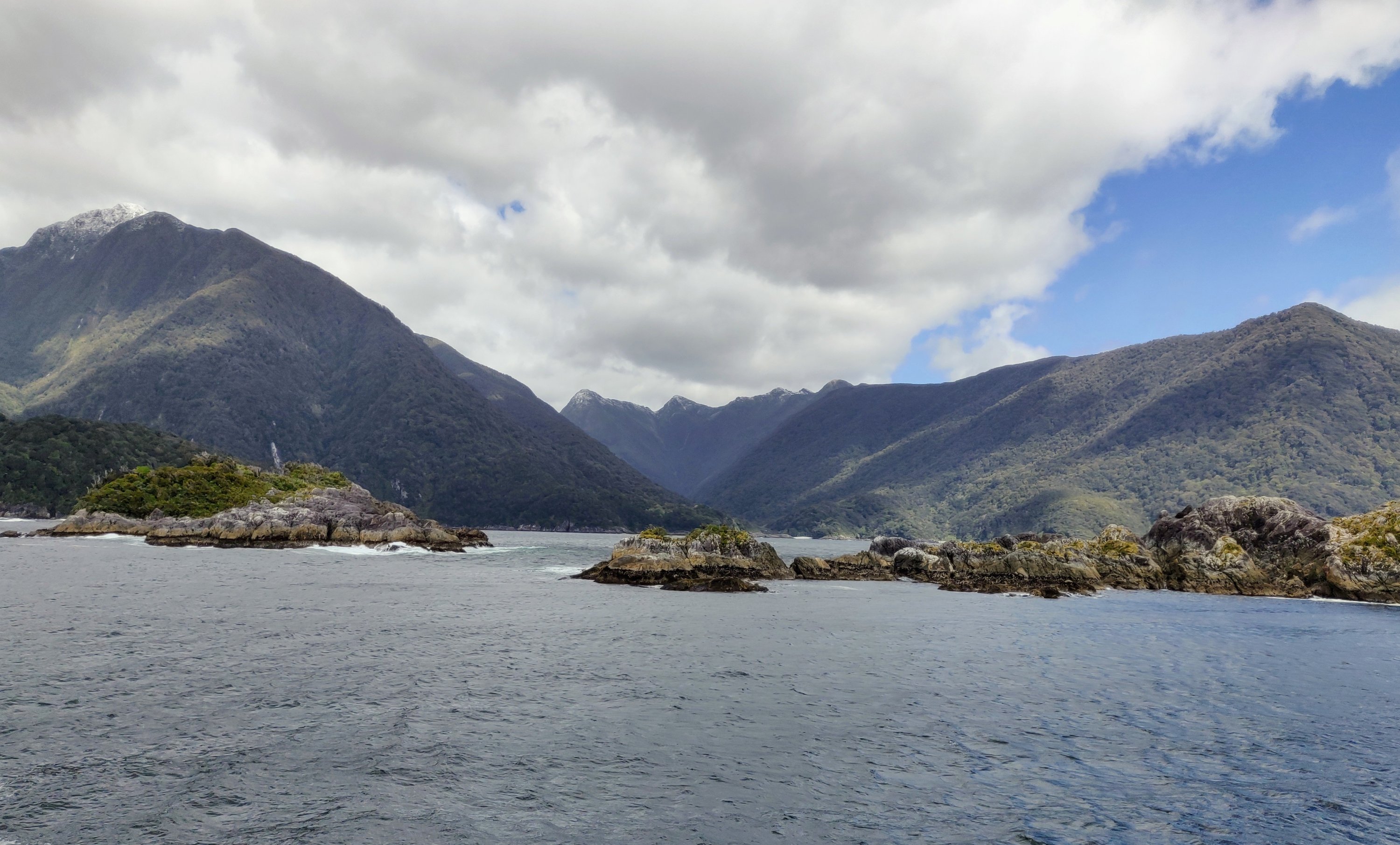
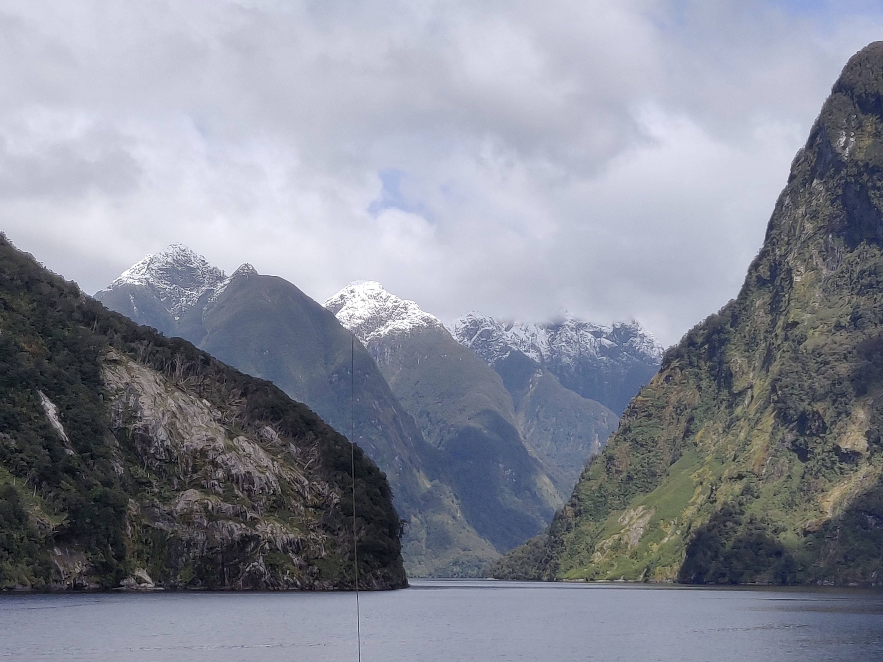


Fabulous trip and great weather for it.
To Invercargill
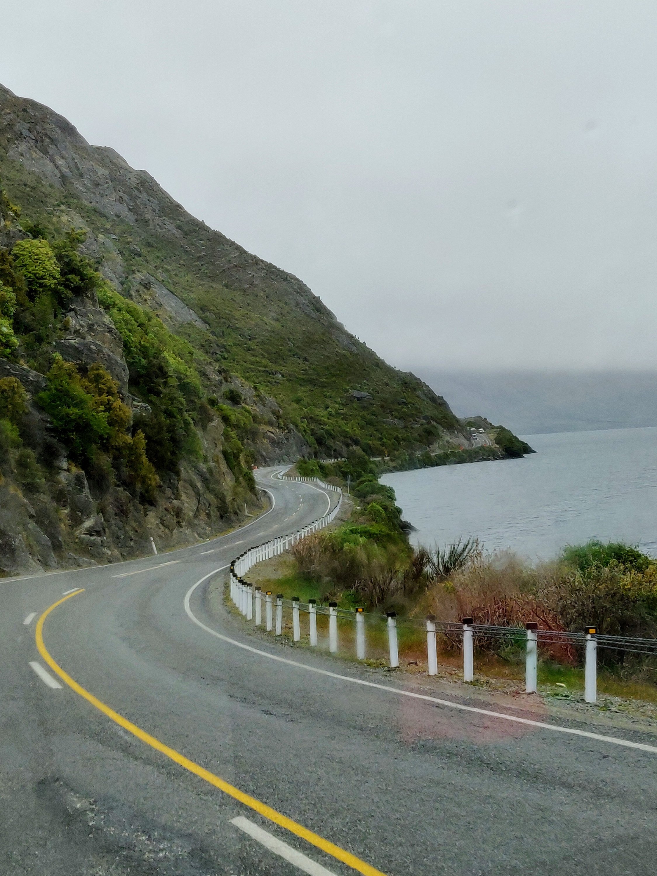
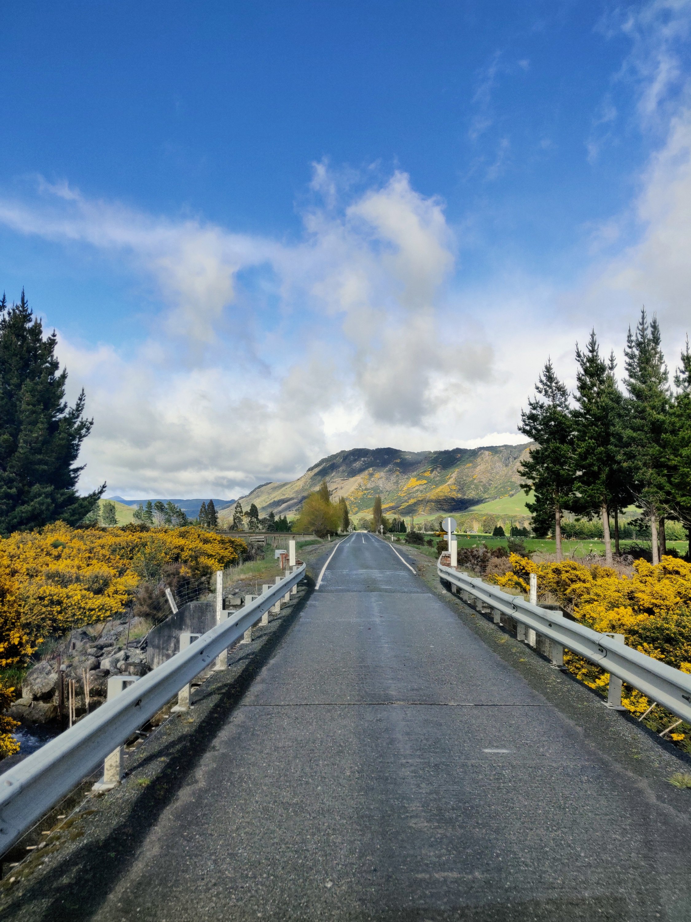
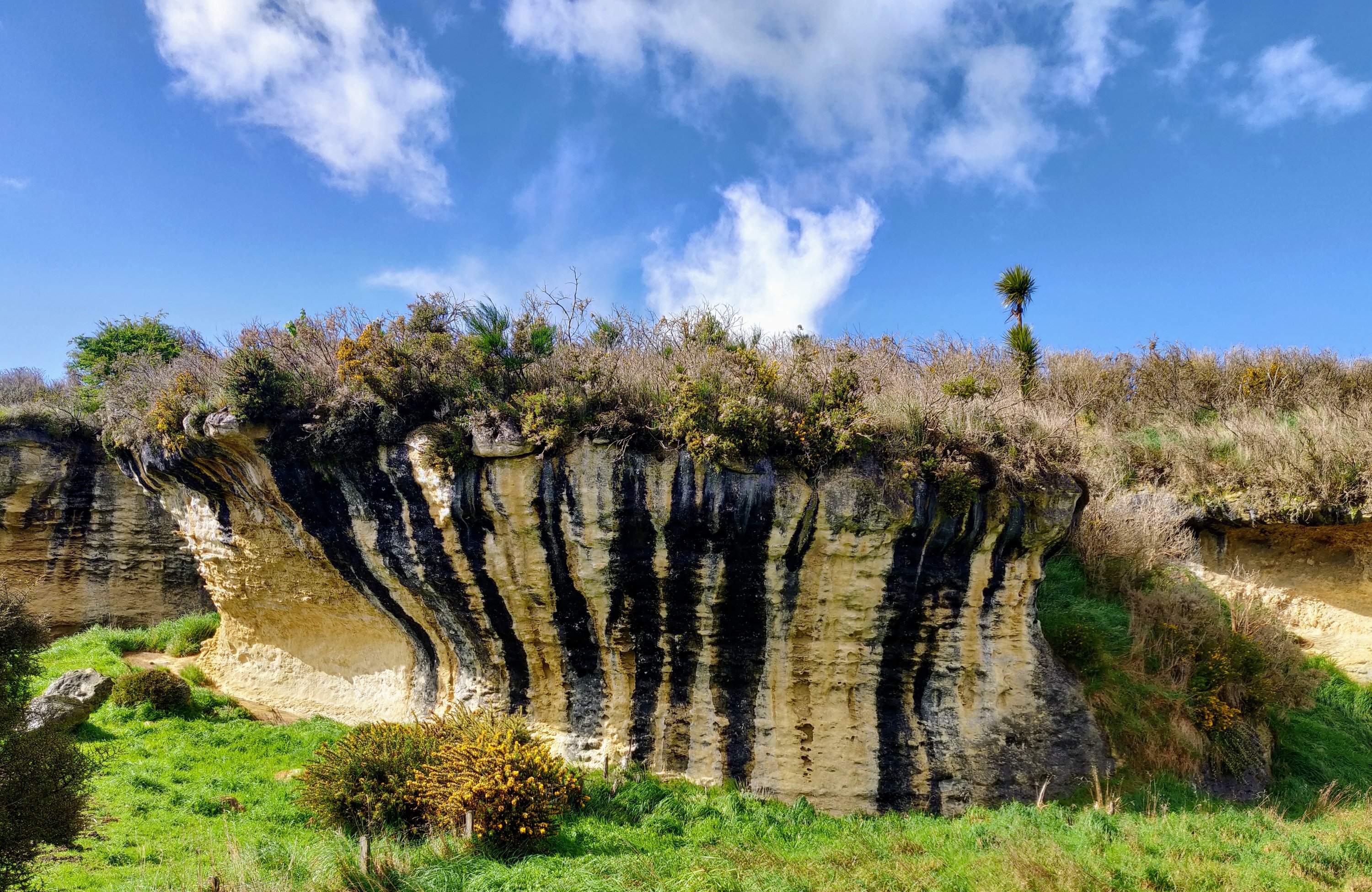
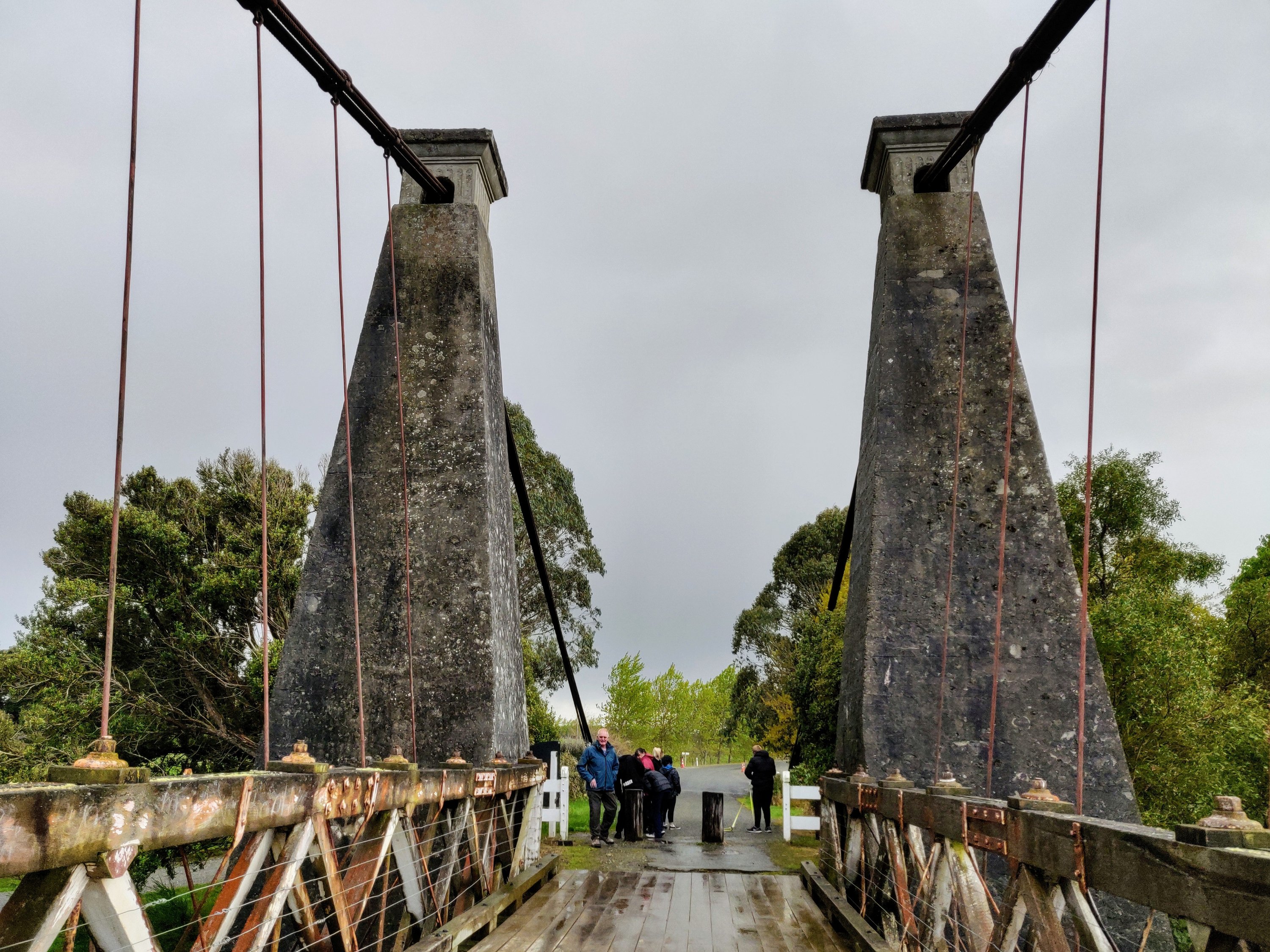
Milford Sound is closed again so we decided to head south to Invercargill and Bluff! Compared to the mountains behind us the road was wide open pastures with cows, sheep, alpacas and lots of deer….


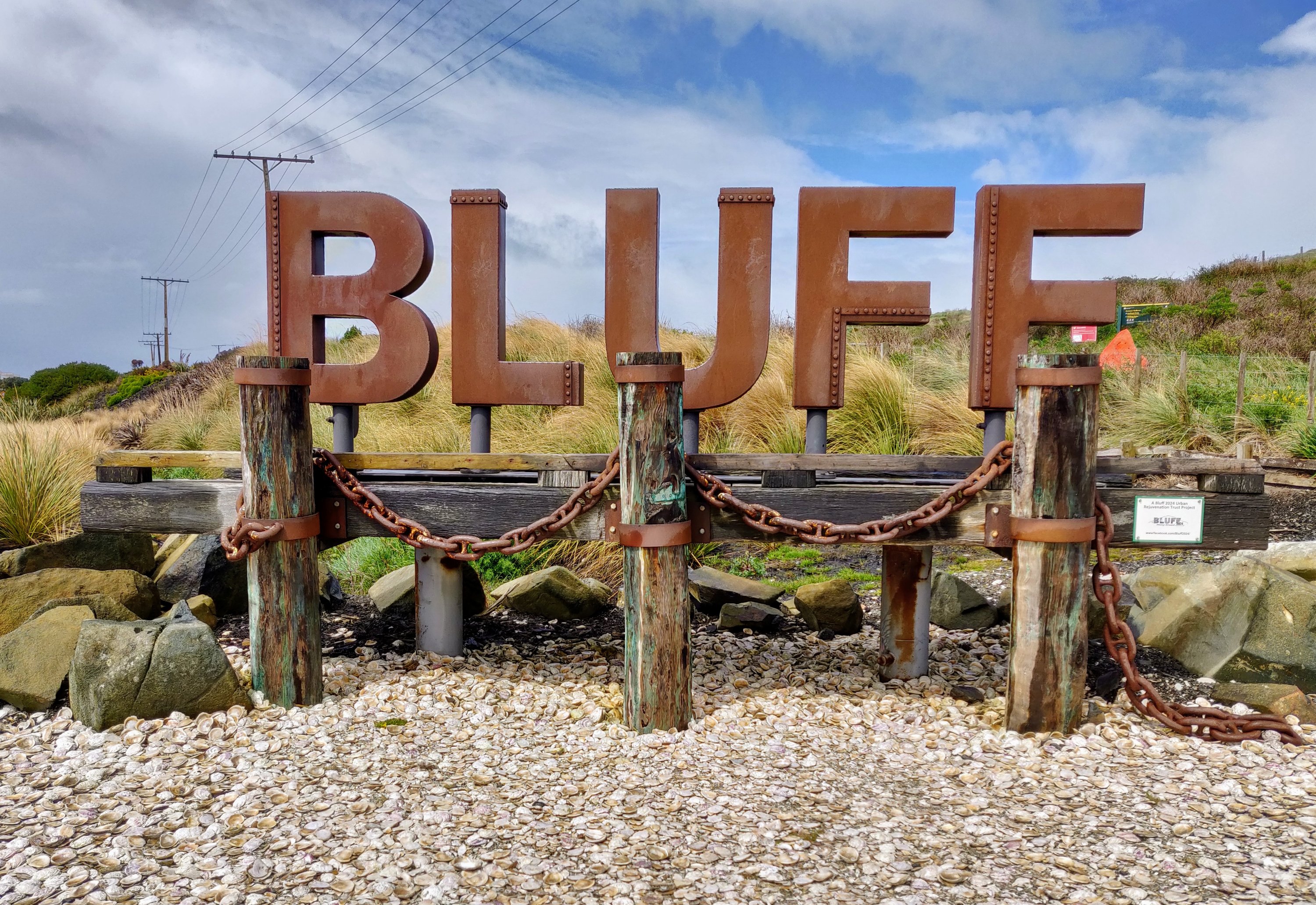
A must see at Bluff is Stirling Point. It marks the southern end of State Highway 1, which runs the length of New Zealand, and has a fingerpost displaying distances to major cities in the world – New Zealand’s Land’s End


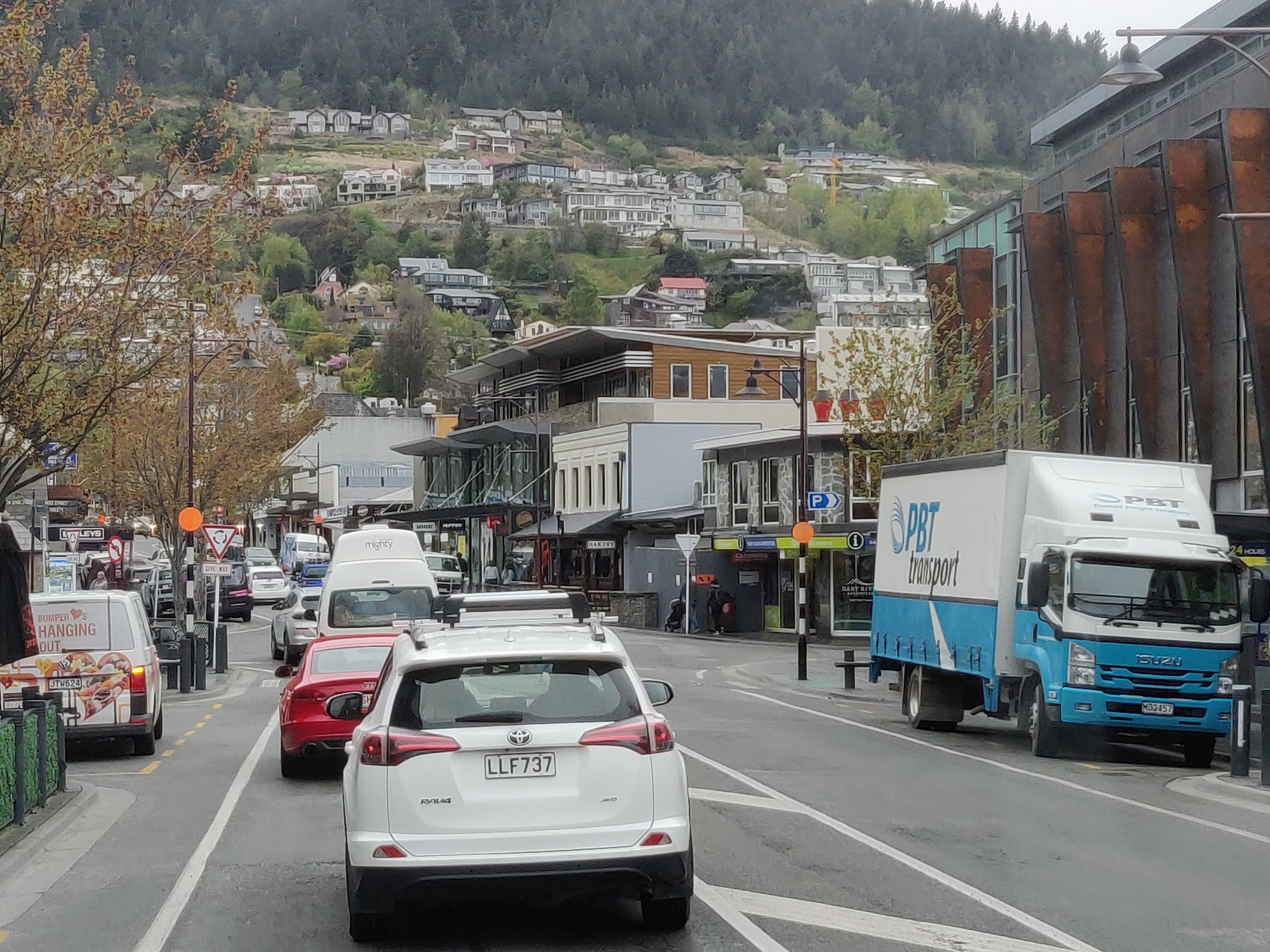
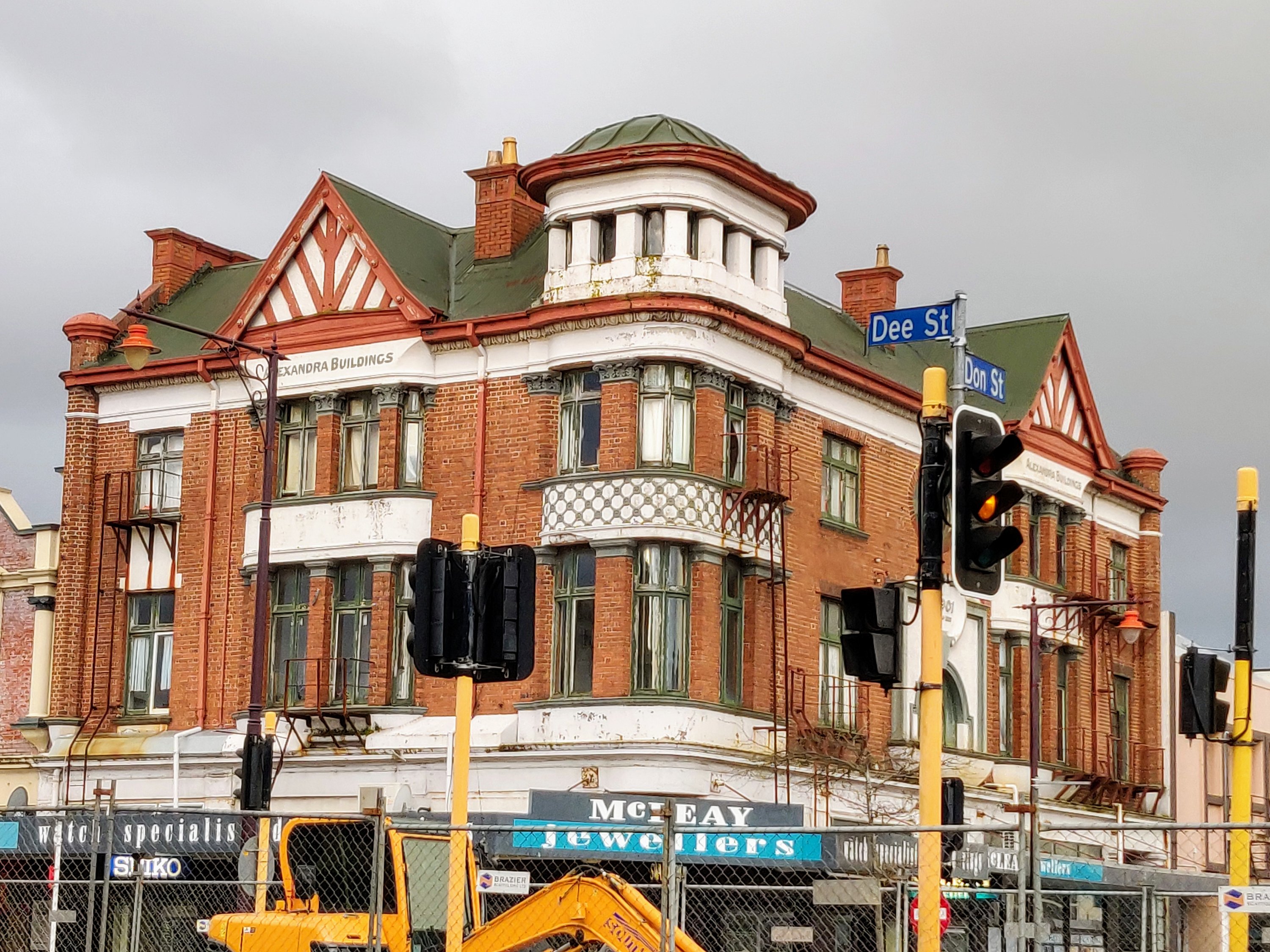
Invercargill (Waihōpai) was founded in the 1850’s, and is New Zealand’s southernmost city. It has wide streets in a gridded layout – great for finding our way about! Though the town is undergoing extensive redevelopment and restoration there is a lot of evidence of grand Victorian, Edwardian and Art Deco heritage including a number of listed buildings….
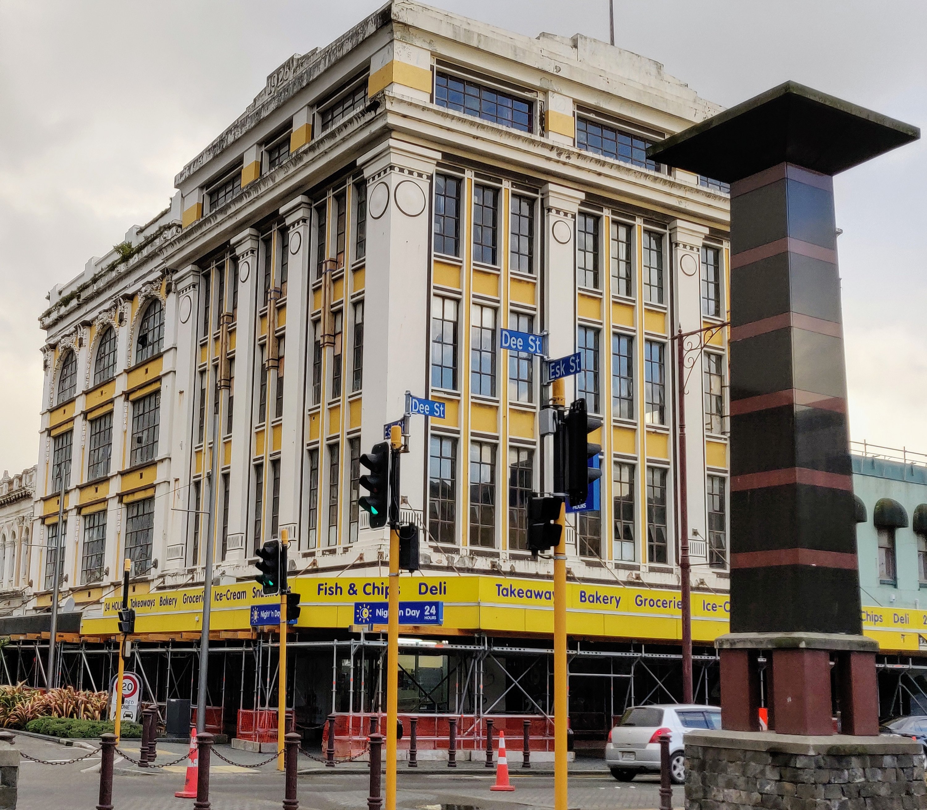


Did you notice the train crossing in the above photograph …..


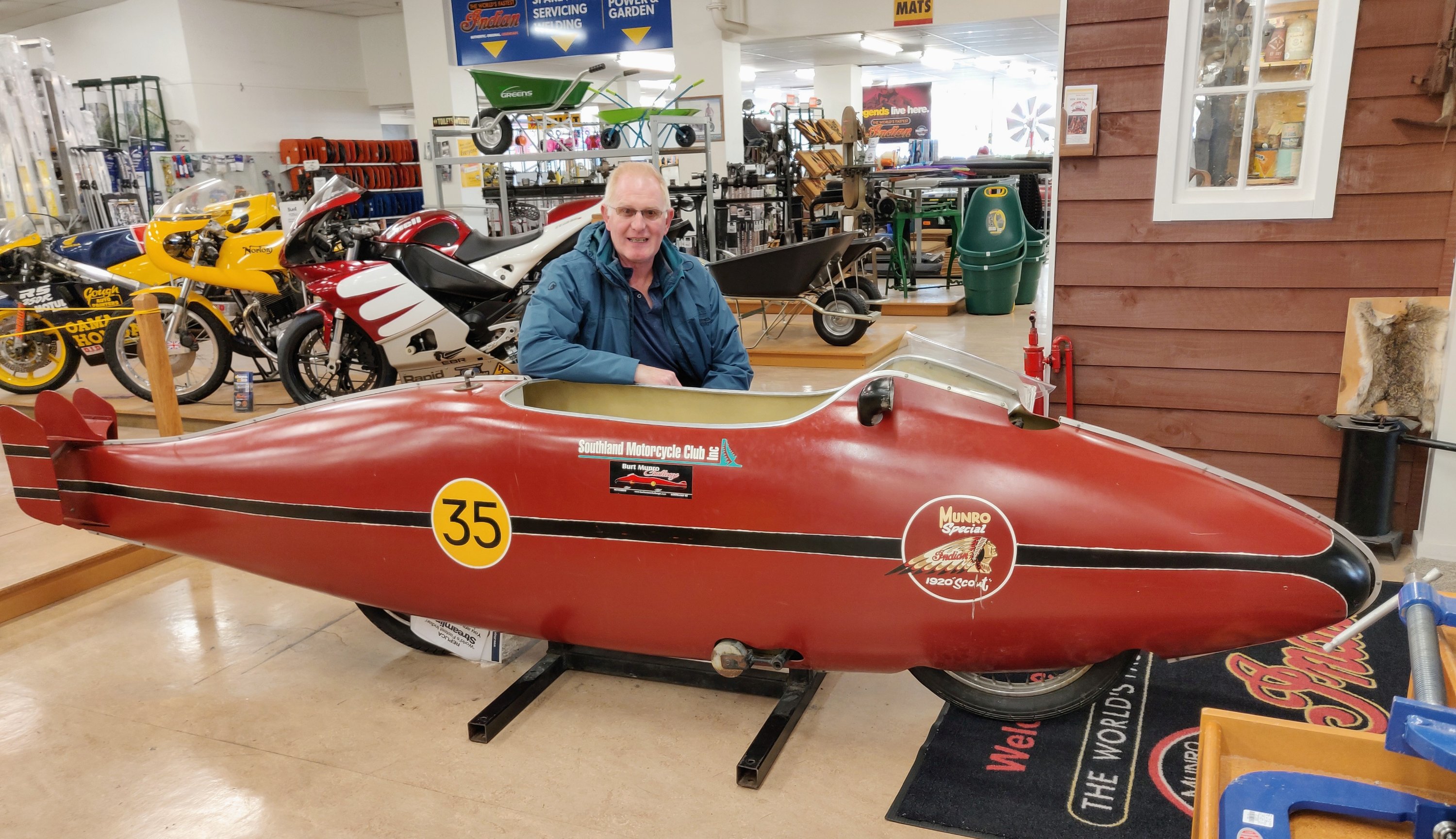
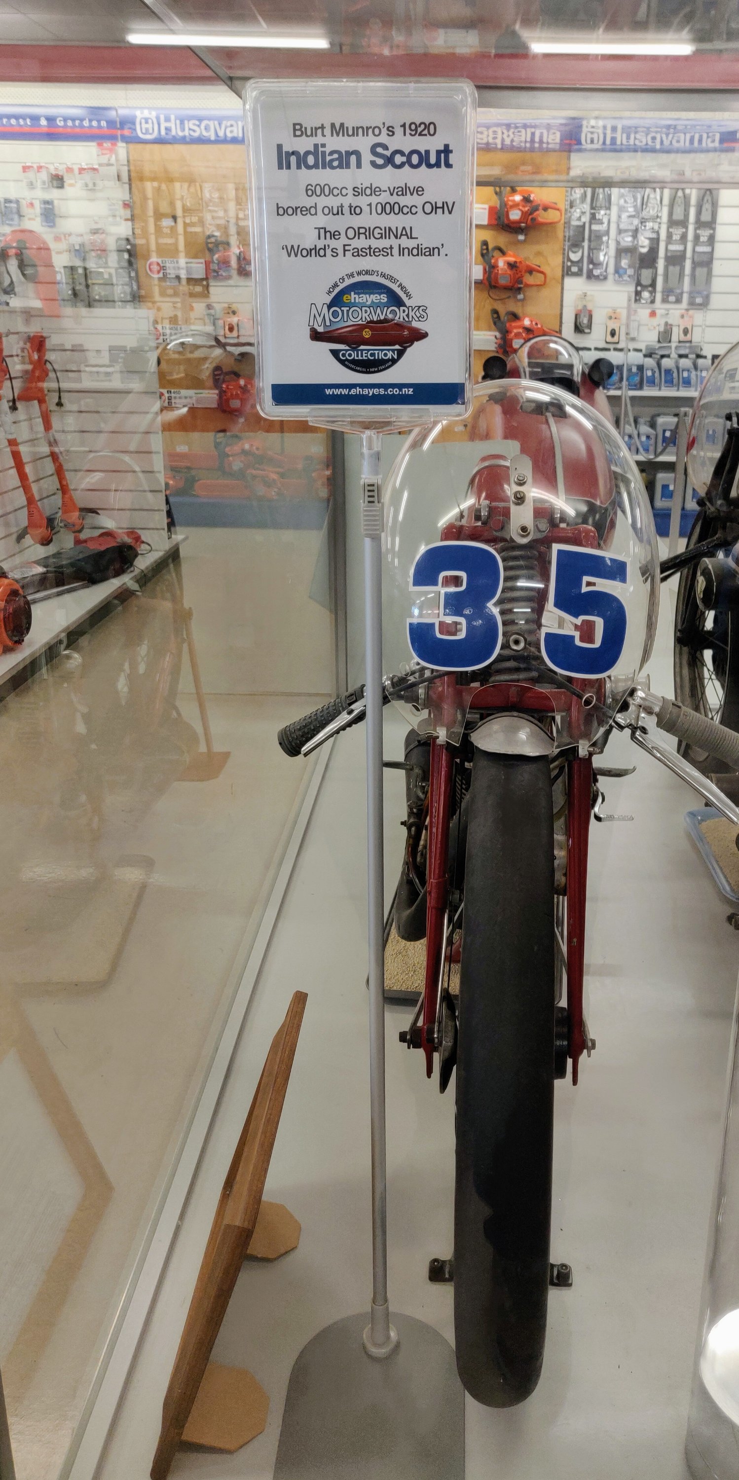
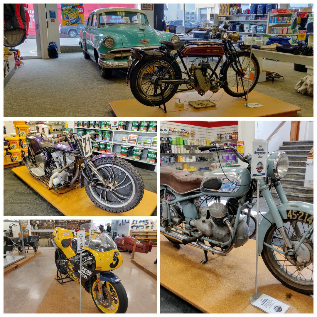
Since we decided to come this far south Paul had one stop he wanted to make in Invercargill and that was at E Hayes & Sons Hardware Store! The reason being they have over 100 items of motoring memorabilia including the actual motorbike that Bert Munro broke the world speed record on (the world’s fastest Indian).
This part of our journey, unplanned, was very windy and a tad wet at times but very enjoyable and again lovely people from the girl at the petrol station to Chris at the pub where we had dinner! And the lovely girls at PaknSave – remember yellow pack at Stewart’s supermarket????
For our non Facebook readers…. One funny moment…..